MapGIS IGServer is not only a high-performance cross platform GIS server product, but also a platform software for GIS application and development on the browser side. It provides powerful data management, analysis, visualization, and sharing services, as well as WebGIS application development and extension, supporting both monolithic and microservice operating modes. The product includes two versions: Kyushu version and for Windows version.
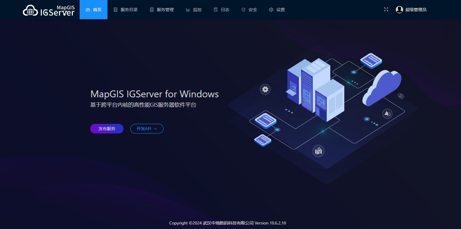
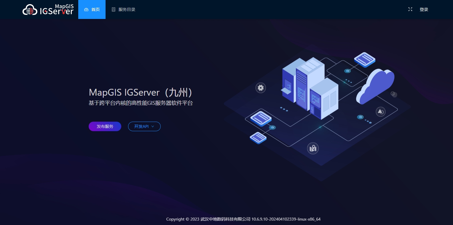
Autonomous and controllable basic software and hardware environment support
●Supports mainstream CPU architectures and domestic chip platforms, including X86, ARM, MIPS, Alpha, LoongArch64, etc. Domestic chips support Feiteng, Kunpeng, Loongson, Shenwei, Zhaoxin, Haiguang, etc;
●Supports mainstream operating systems such as Windows and Linux, with Linux operating systems supporting RedHat, CentOS, Ubuntu, UOS, Zhongbiao Kirin, Galaxy Kirin, Deepness, Euler, Zhongke Fangde, Wanli Hong, Hongqi, etc;
●Support mainstream middleware, including Kingdee, Tomcat, etc;
●Mainstream domestic servers are supported, including Great Wall Optimus, Huawei Mount Taishan, Changjiang Computing, Haier, Baode, and Zhongke Dawning.
Comprehensive high-performance GIS services
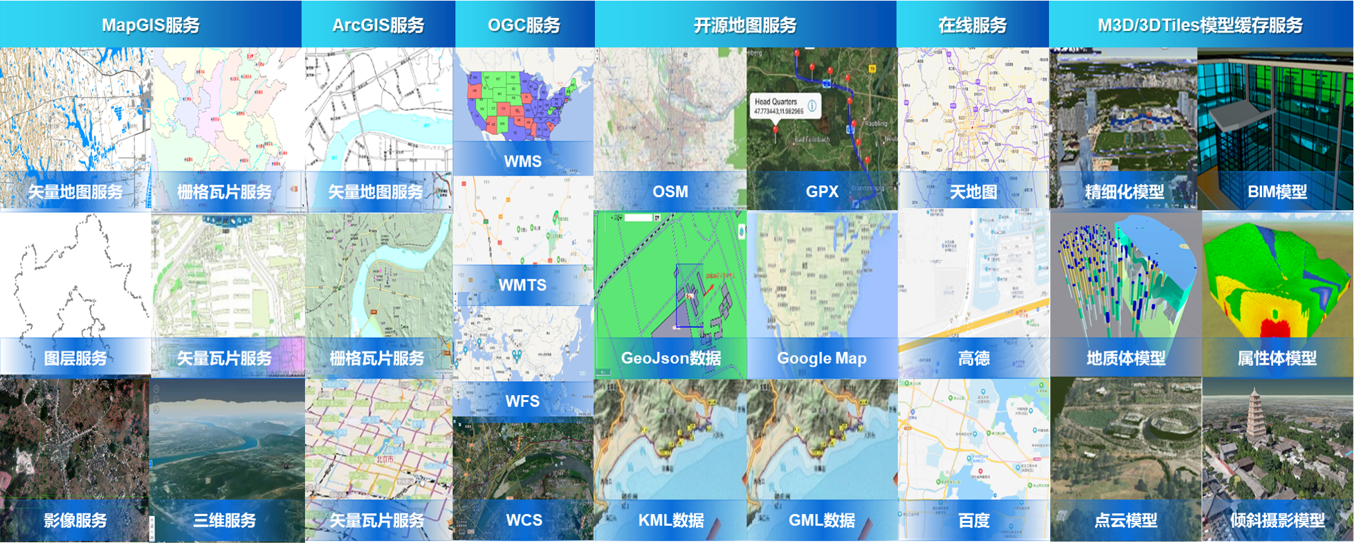
●Map services, supporting the publication of map services, tile services, and third-party map services, providing visualization and interactive processing of map services;
●Scene services, supporting the publication of scene services, terrain caching services, M3D services, and 3DTiles services, providing visualization and thematic expression services for scene services;
●Element services, supporting the publication of element services and conducting queries, edits, and statistics based on element services;
●Image services, supporting the publication of image services, providing visualization of image data and thematic expression;
●Third party map services, supporting the publication of OGC services such as WMS, WFS, WMTS, CSW, as well as online map services such as Tianmu, Gaode, Baidu, and third-party heterogeneous GIS platform services;
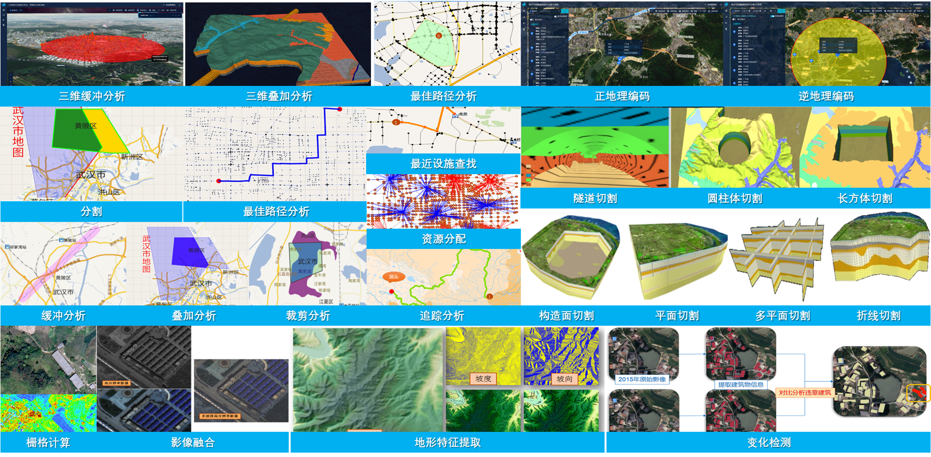
●Spatial analysis services provide over 100 high-performance GIS analysis services, including buffer analysis, overlay analysis, network analysis, 3D analysis, and raster services;
●Added plotting service management, supporting plotting library management, plotting layer management, and situational inference.

Aggregatable multi-source heterogeneous GIS services
●Support the rapid release of map data/services from general standard services, third-party online map services, and third-party heterogeneous GIS platforms as MapGIS standard map services;
●Support rapid aggregation of GIS services that comply with international common standards such as MapGIS and OGC, as well as third-party common standards;
●Provide two fast aggregation methods based on server and client.
Efficient service expansion model
●Support the access and management of custom services that comply with standard service specifications, enabling the registration, hosting, and discovery of custom services;

●Support extension services based on visualization workflow, enabling desktop, browser, and mobile sharing;
●Support independent cloud service development and expansion, and support integration of individual services and microservices.
Fine service management mechanism
●Provide high-performance GIS services based on microservice architecture that are more efficient, flexible, can be updated in real-time, and run more stably;
●Support multiple cache generation and scheduling mechanisms, providing local and distributed storage based on data caching and interface caching;
●Support deployment modes for both monolithic and microservice versions, meeting the application needs of different scales and operating systems, and maximizing resource utilization;
●Provide comprehensive security mechanisms, support service level access control and security management policies for user groups, roles, etc., distinguish service resources for different user roles, and ensure the security of service management permissions;

Role permission allocation
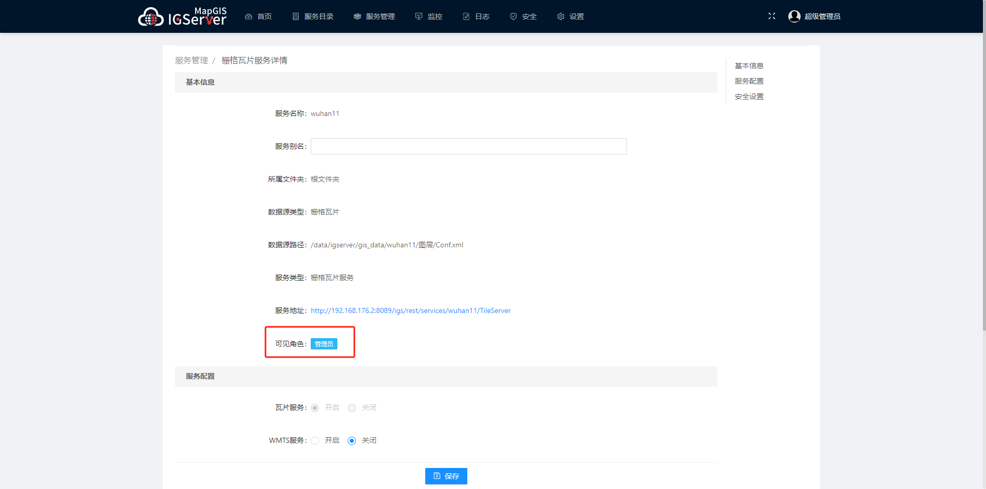
Service role
●Provide a comprehensive log management system and operational monitoring mechanism for more refined management.
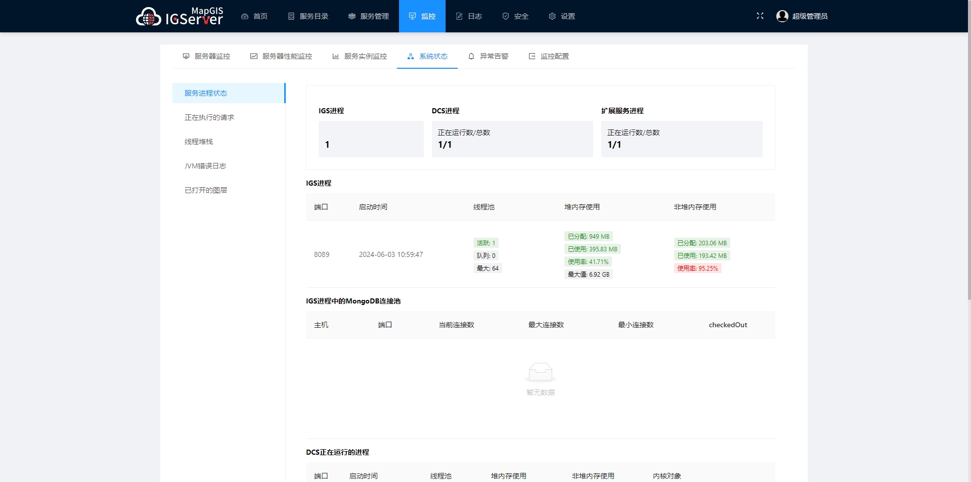
System status monitoring
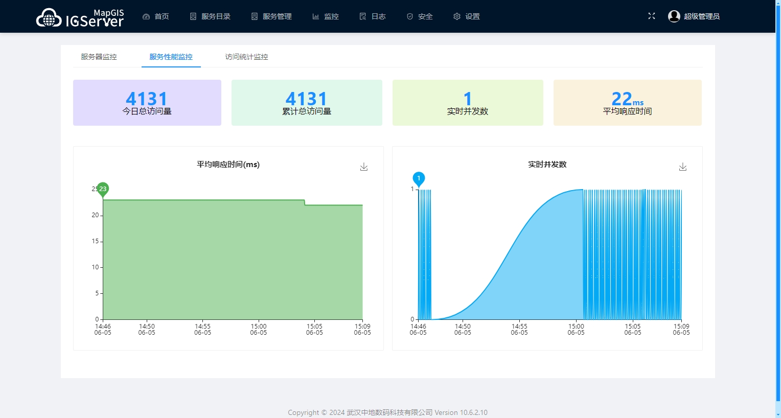
Service instance monitoring
Related software
Desktop GIS
BD And Cloud Platforms
MapGIS CIM Basic Platform
Digital Twin Platform


