


Company Introduction
More than 30 years of intensive cultivation in the GIS industry
Brilliant course
2025


Embark on a New Journey, Shape the Future
2024
2023
2022
2021
2020
2019
2018
2017
2016
2015
2014
2013
2012
2011
2010
2009
2008
2007
2006
2005
2004
2003
2002
2001
2000
1999
1998
1997
1996
1995
1994
1993
1992
1991
1990
1989
December
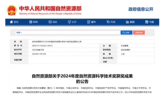
2024 Natural Resources Science and Technology Awards Announced – MapGIS Honored with Two Prizes
Recently, the Ministry of Natural Resources unveiled the winners of the 2024 Natural Resources Science and Technology Awards. MapGIS contributed to two award-winning projects: the project "Key Technologies and Applications for Fine Perception and Intelligent Mining of Urban Spatiotemporal Information"received the First Prize in the Natural Resources Science and Technology Progress Award, while the project "Key Technologies and Applications for Intelligent Modeling and Services of Aboveground and Underground Spaces"was awarded the Second Prize.
November
"Intelligence and Collaboration" – The 13th University GIS Forum 2025 Successfully Held in Shanghai!
From November 7 to 9, 2025, the 13th University GIS Forum 2025, co-organized by East China Normal University and Wuhan Zhongdi Digital Technology Co., Ltd. (MapGIS), was successfully held in Shanghai.

October
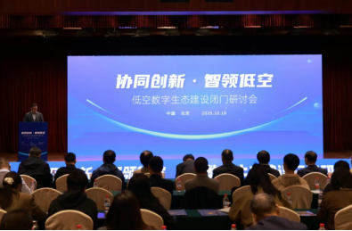
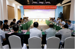
Collaborative Innovation, Smart Low-Altitude Leadership—Closed-Door Seminar on Low-Altitude Digital Ecosystem Construction Successfully Held
On October 18, the "Collaborative Innovation, Smart Low-Altitude Leadership—Closed-Door Seminar on Low-Altitude Digital Ecosystem Construction" was successfully held in Beijing. The event brought together numerous professionals from academia, industry, and government departments to jointly explore cutting-edge issues in the development of the low-altitude economy.
September
MapGIS Wins Three Awards – Gold, Silver, and Bronze – in Geospatial Information Industry
Recently, the China Association for Geospatial Information announced the winners of the "2025 Outstanding Project Awards for China's Geospatial Information Industry." MapGIS secured three awards, including a Gold Award for the "Special Enhancement of Online Government Services for Planning and Natural Resources in Shenzhen,"a Silver Award for the "Design and Application of a Spatiotemporal Smart Governance System for Residential Spaces in Shenzhen,"and a Bronze Award for the "Water Supply Pipeline Detection and Informatization Project of Dalian Water Supply Group"

August
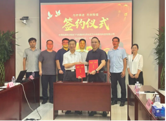
Institute of Mineral Resources, Chinese Academy of Geological Sciences Signs Cooperation Agreement with MapGIS
Recently, the Institute of Mineral Resources, Chinese Academy of Geological Sciences (hereinafter referred to as IMR) and Wuhan MapGIS Technology Co., Ltd. signed a cooperation agreement in Beijing. The partnership aims to deeply integrate mineral resources research with geographic information technology, jointly promoting the innovation and development of information technology in the field of mineral resources.
July
MapGIS Once Again Recognized as a Wuhan Big Data Enterprise, Driving Digital China Development Through Technological Innovation
Recently, the list of enterprises designated as Wuhan Big Data Enterprises for 2025 was officially announced. Wuhan MapGIS Technology Co., Ltd. has once again been honored with this recognition for its outstanding technological capabilities, continuous innovation, and broad social value, solidifying its position as a pioneering enterprise in Wuhan's big data industry for multiple consecutive years.
June
MapGIS Mine Management and Modeling System Successfully Passes Review by China Mining Rights Appraisers Association
Recently, a core functional module of the MapGIS Mine Management and Modeling System, independently developed by Wuhan Zhongdi Digital Technology Co., Ltd. (MapGIS), successfully passed the review by an expert panel from the China Mining Rights Appraisers Association
May
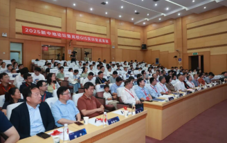
2025 New MapGIS Forum & University GIS Laboratory Achievements Exhibition Successfully Held
On May 18, 2025, the "Industry-Education Co-Cultivation, Research-Innovation Symbiosis: 2025 New MapGIS Forum & University GIS Laboratory Achievements Exhibition" was successfully held in Wuhan. The event facilitated in-depth discussions on key topics such as independent innovation in GIS technology, building an industry-education integration ecosystem, and cultivating interdisciplinary talent, injecting new momentum into the high-quality development of the geographic information industry.
April
A Visit to MapGIS | The "Exploring New and Specialized Enterprises, Probing Integrated Transformation" Series Event Successfully Held
On April 28, the "Exploring New and Specialized Enterprises, Probing Integrated Transformation" series event, organized by the Hubei Provincial Surveying and Mapping Industry Association and hosted by MapGIS, kicked off at the Wuhan MapGIS Science Park.
March
Laying the Foundation with Innovation, Transforming with AI—MapGIS Grandly Holds GIS Dual-Engine New Product Launch and Partner Conference
On March 26, the "GIS Dual-Engine New Product Launch and Partner Conference" was grandly held under the theme of "Independent Innovation, Breaking Spatial Boundaries."

February
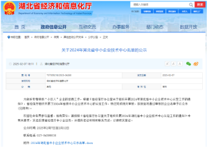
Selected for Another Provincial List! MapGIS's Innovation Capabilities Recognized Again
Recently, the Hubei Provincial Department of Economy and Information Technology released the 2024 List of Hubei Provincial SME Technology Centers. Wuhan MapGIS Technology Co., Ltd. has been recognized as a provincial enterprise technology center, thanks to its outstanding technological innovation capabilities in the field of geographic information systems!
January
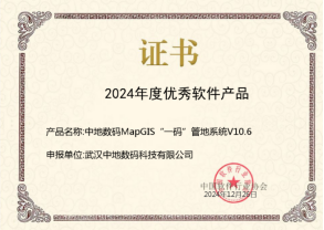
MapGIS Product Once Again Honored as Annual Excellent Software Product
In order to promote outstanding software products and foster renowned software brands, the China Software Industry Association carried out the 2024 campaign for promoting excellent software products. MapGIS’s "One-Code" Land Management System successfully made it onto the "2024 Excellent Software Products List"!

December
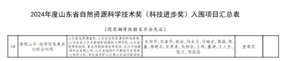
MapGIS Receives 2024 Shandong Natural Resources Science and Technology Award
The "Perspective Shandong – Geological Information Integration and Comprehensive Utilization" project, in which MapGIS participated, has been awarded the First Prize of the 2024 Shandong Natural Resources Science and Technology Progress Award.
November
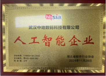
Wuhan MapGIS Technology Co., Ltd. Honored with Artificial Intelligence Enterprise Certification
Through unremitting efforts and a rigorous evaluation process, Wuhan MapGIS Technology Co., Ltd. has been awarded the Artificial Intelligence Enterprise Certification of Hubei Province.

October
“New Quality and Integration" – The 12th University GIS Forum 2024 Successfully Held in Nanjing!
From November 1st to 3rd, the 12th University GIS Forum 2024, co-organized by Hohai University, the Jiangsu Provincial Engineering Research Center for Watershed Geospatial Intelligence, and the MapGIS Group, was successfully concluded in Nanjing.
September
MapGIS Honored as "Pioneer Enterprise" for Outstanding Achievements in 2024 BeiDou Innovation and Application
Recently, the China Satellite Navigation and Positioning Association held the BeiDou Application Conference and the 13th Annual Conference of China Satellite Navigation and Location-Based Services in Wuhan, where the annual award ceremony also took place. As a local enterprise, Wuhan MapGIS Co., Ltd. has been honored with the title of "Pioneer Enterprise of 2024" for its outstanding contributions and remarkable achievements in the innovative application of the BeiDou system.
August
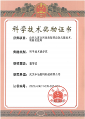
MapGIS Scientific Research Achievement Wins Hubei Provincial Science and Technology Progress First Prize for 2023
The research outcome titled Key Technologies, Equipment, and Applications for Intelligent Emergency Response Using Natural Disaster Spatial Information, which MapGIS participated in, has been awarded the First Prize in the 2023 Hubei Provincial Science and Technology Progress Award
July
Dangyang Public Security Bureau Signs Strategic Cooperation Agreement with MapGIS
Recently, the Dangyang Public Security Bureau and Wuhan MapGIS Technology Co., Ltd. officially signed a strategic cooperation agreement, marking a new phase of collaboration between the two parties in the field of police technology.
June
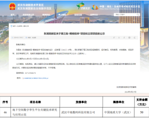
MapGIS Ranks on the "Unveiling the List and Taking Command" Project List of East Lake High-Tech Zone!
Recently, East Lake High-Tech Zone announced the third batch of "Unveiling the List and Taking Command" projects. The collaborative research project between MapGIS and China University of Geosciences (Wuhan), titled "Research on Key Technologies and Application Demonstration of a Digital Twin Platform for Underground Space," has been honored on the list.
May
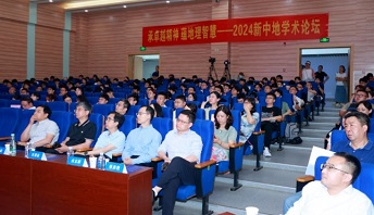
The 2024 New China Academic Forum will be held in Wuhan
On May 18th, 2024, the New China Academic Forum was held in Wuhan, with the theme of "Inheriting the Spirit of Excellence and Enriching Geographic Wisdom". At the forum, more than ten leading figures in the geographic information industry, as well as on-site industry experts and scholars, focused on geographic information science research and talent cultivation, and deeply explored the technological innovation of domestic GIS software to empower the construction of Digital China.
May
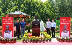
Passing on the torch and guarding the domestic GIS, Professor Wu Xincai's bronze statue unveiled
On May 18th, the unveiling ceremony of the bronze statue of Wu Xincai, a pioneer in the field of digital mapping and geographic information systems in China, a professor at China University of Geosciences, and founder of Zhongdi Digital Group, was held at Zhongdi Science and Technology Park in Wuhan. More than a hundred guests, including experts and scholars in the geographic information industry, as well as representatives of teachers and students from China University of Geosciences (Wuhan), participated in the ceremony to express their condolences.
April
Zhongdi Digital was awarded the title of five-star high-tech enterprise in Wuhan City
According to the "Evaluation Standards for Innovation Capability of Wuhan High tech Enterprises" T/WHGX 001-2023 group standard, Wuhan Zhongdi Digital Technology Co., Ltd. has fully utilized its advantages in independent innovation technology of geographic information, maintained its leading competitiveness in multiple segmented fields, and continuously improved its platform capacity construction, successfully selected for this list. According to the "Evaluation Standards for Innovation Capability of Wuhan High tech Enterprises" T/WHGX 001-2023 group standard, Wuhan Zhongdi Digital Technology Co., Ltd. has fully utilized its advantages in independent innovation technology of geographic information, maintained its leading competitiveness in multiple segmented fields, and continuously improved its platform capacity construction, successfully selected for this list.

March
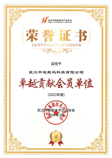
Zhongdi Digital won the "Outstanding Contribution Award" from Wuhan High tech Industry Association
On the afternoon of March 14th, the 2nd Member Conference of Wuhan High tech Industry Association (Optics Valley Area) was held grandly in Optics Valley. Zhongdi Digital, as a representative of member units, was invited to participate in this grand event and was awarded the recognition of "Outstanding Contribution Member Unit".
February
Zhongdi Digital has been selected as a supplier of equipment renovation and digital construction solutions for universities (second batch)
Recently, the organizing committee of the China Higher Education Expo announced the list of suppliers for equipment renovation and digital construction solutions in universities (second batch), and Zhongdi Digital's "Joint Solution for GIS Teaching and Co construction Laboratory in Universities" was successfully selected!

January
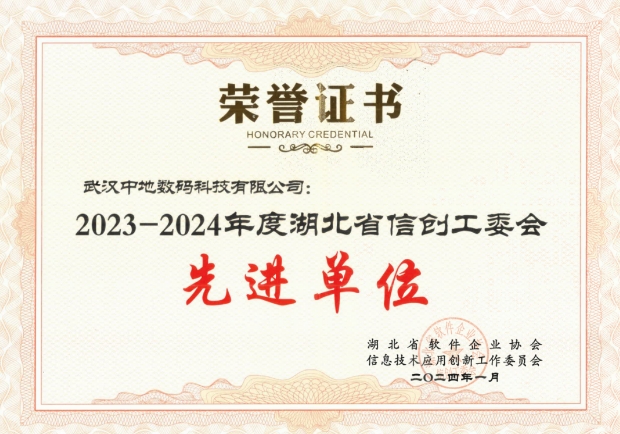
Zhongdi Digital was rated as the exemplary organization of Hubei Information and Innovation Working Committee in 2023-2024
The Software Enterprise Association of Hubei Province and the Information Technology Application and Innovation Working Committee announced the selection results of "2023-2024 exemplary organization of Hubei Information Innovation". Zhongdi Digital has been awarded this honorary title for its outstanding achievements in the field of information and innovation.
January
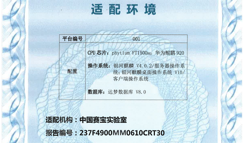
Zhongdi Digital has been awarded the first batch of evaluation and certification for innovative information technology application products in Hubei Province
The first batch of evaluation and certification results for information technology application innovation products in Hubei Province, organized by the Hubei Software Enterprise Association and the Information Technology Application Innovation Working Committee, have been announced. The independently controllable platform product "MapGIS Geographic Information System [referred to as MapGIS 10.6] V10.6" of Zhongdi Digital has obtained the evaluation and certification for information technology innovation products.
December
Zhongdi Digital has been selected as one of the top 50 emerging artificial intelligence enterprises in Wuhan in 2023
On December 28th, the "2023 Wuhan Artificial Intelligence New Top 50 Enterprises Release Conference and Digital Transformation Branch Establishment Ceremony" jointly organized by Wuhan High tech Industry Association and Changbao Media Group Changjiang Finance Think Tank was successfully held in Wuhan Economic Development Zone. Zhongdi Digital was invited as an enterprise representative to attend the conference.
November
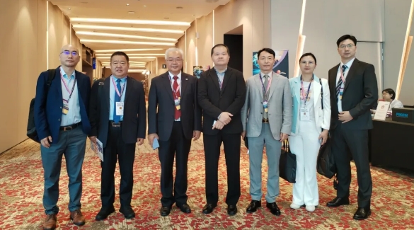
Zhongdi Digital accompanies the delegation of Beidou Navigation and Positioning Association to Malaysia to attend the 2023 PIKOM Leadership Summit
Zhongdi Digital was invited by the China Satellite Navigation and Positioning Association to participate in the "2023PIKOM Leadership Summit" as a representative enterprise of the domestic geospatial industry along with the Beidou Navigation Visiting Delegation. Zhang Liang, the rotating president of Zhongdi Digital, was invited to attend the summit.
November
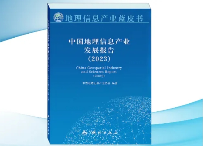
China Geographic Information Industry Development Report (2023) co authored by Zhongdi Digital
Li Weisen, President of the China Geographic Information Industry Association, released the "Report on the Development of China's Geographic Information Industry (2023)" at the first China Surveying and Mapping Geographic Information Conference. The National Local Joint Laboratory of China Ground Digital and Geographic Information Systems jointly participated in the preparation of the report, and the article "Innovative Development and Application of Geographic Information Basic Software Technology in the Digital Economy Era" co authored by Professor Wu Liang, Vice Chairman of China Ground Digital, Dr. Tao Liufeng, Dean of China Ground Research Institute, Dr. Huang Ying, General Manager of Platform Business Unit, and Chief Engineer Chen Xiaopei was selected.
November
The "Cheng'an Zhongdi Team" won the first prize in the "Pioneer Cup" Digital Twin Innovation Application Competition
The 2023 Digital Twin Pioneer City Innovation Conference was grandly held in Shenzhen. The joint project "Research and Exploration of Shenzhen CIM Underground Space Platform Based on Domestic GIS" by the "City Safety Zhongdi Team" composed of Shenzhen Urban Public Safety Technology Research Institute and Zhongdi Digital Group won the first prize.
November
Zhongdi Digital made its debut at the first China Surveying and Mapping Geographic Information Conference and won multiple honors
Zhongdi Digital has won the special prize of the 2023 Geographic Information Technology Progress Award and the first prize of the 2023 Surveying and Mapping Science and Technology Award, and multiple projects have won the Excellent Engineering Award in the Geographic Information Industry. Huang Bo, Vice President of Zhongdi Digital, won the 2023 Youth Surveying and Mapping Geographic Information Technology Innovation Talent Award.
October
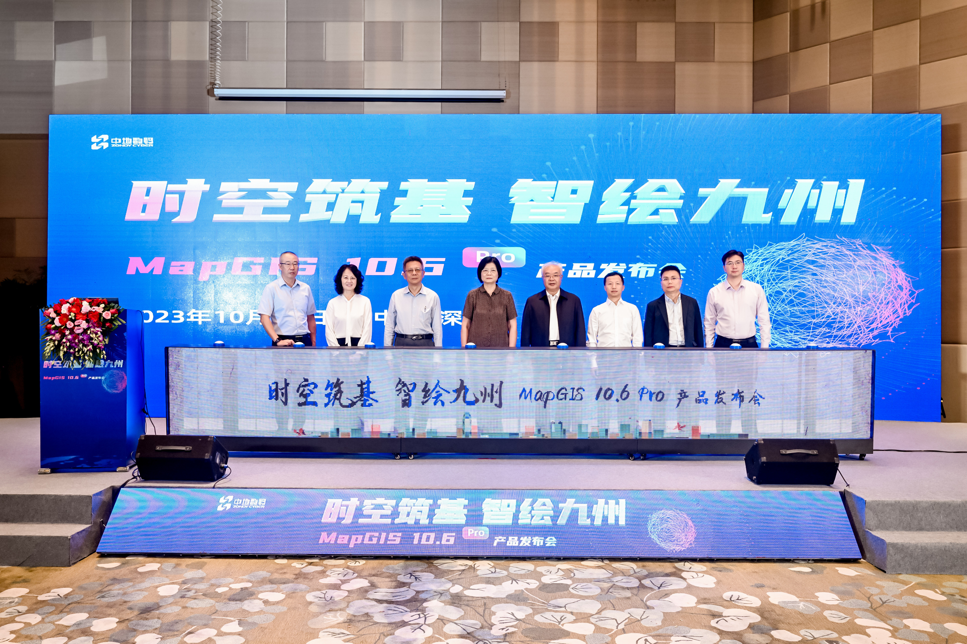
New Product MapGIS 10.6 Pro Released
On October 18th, Zhongdi Digital held a new product launch event in Shenzhen for the "Space and Time Building Foundation • Intelligent Painting of Nine Provinces", officially launching the new generation of full space intelligent GIS upgrade - MapGIS 10.6 Pro. Experts and scholars in the geographic information industry from all over the country gathered together to discuss the self-reliance and self-improvement of geospatial technology, and to promote high-quality development of the industry.

September
Won the 2023 Surveying and Mapping Science and Technology Award and the Young Surveying and Mapping Technology Innovation Talent Award by the Chinese Society of Surveying and Mapping
The Chinese Society of Surveying and Mapping has released the results of multiple awards, including the "2023 Surveying and Mapping Science and Technology Award". The "Key Technologies and Applications of Autonomous and Controllable Intelligent Map Mapping Software" jointly applied by Wuhan Zhongdi Digital Technology Co., Ltd., China University of Geosciences (Wuhan), Wuhan University, and Huanggang Normal University won the first prize of the 2023 Surveying and Mapping Science and Technology Award; Huang Bo, Vice President of Wuhan Zhongdi Digital Technology Co., Ltd., won the 2023 Youth Surveying and Mapping Geographic Information Technology Innovation Talent Award.
September
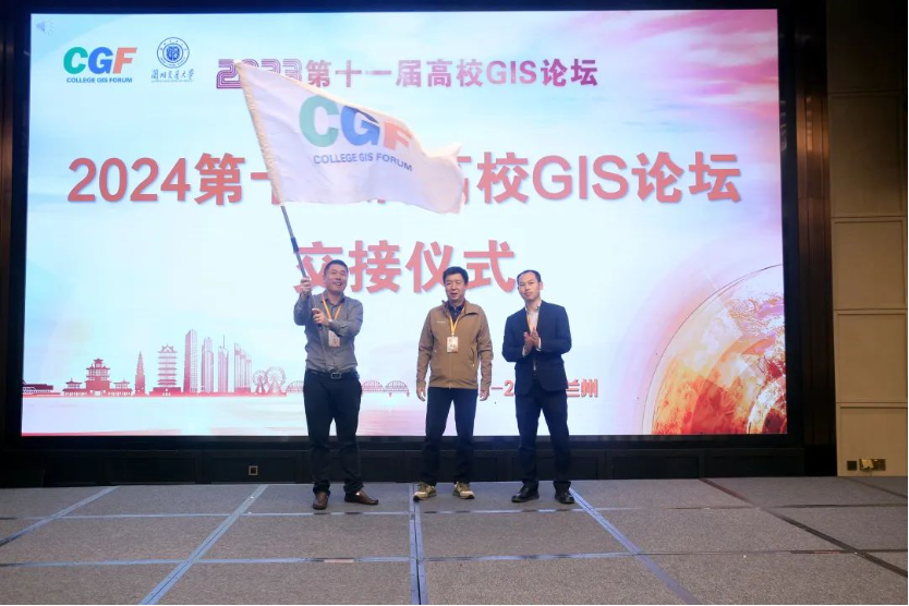
The 11th College GIS Forum in 2023 was successfully held in Lanzhou!
On September 22-24, the 11th College GIS Forum 2023, jointly organized by Lanzhou Jiaotong University, the National Local Joint Engineering Research Center for Geographical Monitoring Technology Application, the Journal of Geovisualization and Spatial Analysis, and Zhongdi Digital Group, came to a successful conclusion in Lanzhou.
August
Won the 2022 Natural Resources Science and Technology Award
The research result "Transparent Underground Space: Key Technologies and Applications of Underground Space Modeling Analysis and Intelligent Platform" completed by Zhongdi Digital won the second prize of the 2022 Natural Resources Science and Technology Award (Evaluation Group of the Chinese Geological Society). The research achievement "Integration and Application of Key Technologies for Joint Monitoring of Land Use and Quality Dynamic Changes" completed with the participation of Chengdu Zhongdi Spatiotemporal Technology Co., Ltd., a wholly-owned subsidiary of Zhongdi Digital, won the second prize of the 2022 Natural Resources Science and Technology Award (Land Group).
July
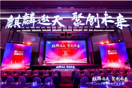
Won the Qilin Software Excellent Ecological Solution General Solution Collaboration Award
At the "Kirin Aotian Juchuang Future" 2023 Operating System Industry Conference, Zhongdi Digital's participation in the "Galaxy Kirin System based General GIS Platform Solution" won the 2023 Excellent Ecological Solution General Solution Collaboration Award.

July
Won the 2023 Geographic Information Industry Excellent Engineering Award with 3 gold and 2 silver medals
The results of the 2023 Geographic Information Industry Excellent Project Evaluation organized by the China Geographic Information Industry Association have been announced. Zhongdi Digital Group, with its independent innovation in scientific research technology and comprehensive service capabilities, won 3 gold awards and 2 silver awards together with relevant units in this evaluation
June
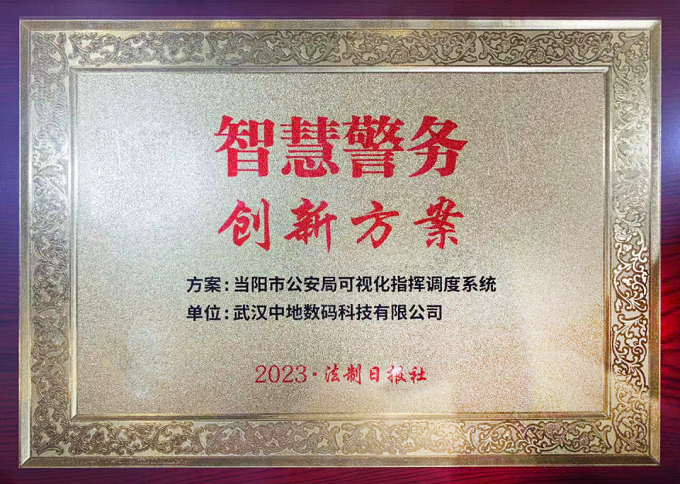
Won the 2023 Political and Legal Intelligence Construction Smart Police Innovation Program Award
The visualization command and dispatch system of Zhongdi Digital Dangyang Public Security Bureau has won the "2023 Political and Legal Intelligence Construction Smart Police Innovation Plan" award.
May
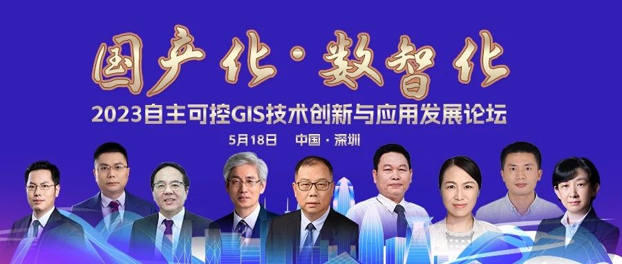
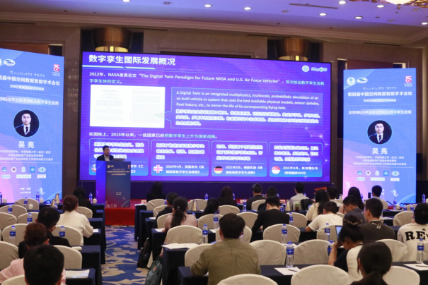
Convene the 2023 Forum on Innovation and Application Development of Autonomous and Controllable GIS Technology
The 2023 Forum on Innovation and Application Development of Autonomous and Controllable GIS Technology was held in Shenzhen. More than ten heavyweight guests, including four academicians, as well as experts and scholars in the geographic information industry, discussed the innovation and application of GIS platforms, CIM platforms, digital twins and other technologies under the background of autonomous and controllable technology, and explored how to empower digital China with high-level GIS technology.
April
Appearing at the 4th China Space Data Intelligence Academic Conference
At the 4th China Spatial Data Intelligence Academic Conference (SpatialDI 2023), Professor Wu Liang, Vice Chairman of Zhongdi Digital, exchanged and discussed the theory, technology, and application of spatial data intelligence in the field of virtual real world integration with experts and scholars in the field. He shared the technological innovation of the all space GIS platform and the research and development achievements of digital twin applications.
March
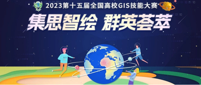
The 15th National College GIS Skills Competition in 2023 officially kicked off
February
Zhongdi Digital has won multiple types of awards
MapGIS Realistic 3D Platform passed the "2022 Realistic 3D Platform Software Evaluation" organized by the China Geospatial Information Industry Association.
Sun Min won the first prize in the final of the "National DCMM Standard Knowledge Competition" initiated by the China Information Industry Association.
Two products, "MapGIS Big Data and Cloud Platform V10.6" and "MapGIS Underground Space Information Platform", have been included in the provincial innovation product application demonstration recommendation directory.
Zhongdi Digital won the "Excellent Enterprise" award for 2022-2023.

January
Two MapGIS products have been awarded the title of Excellent Software Products in China
The two products of Zhongdi Digital MapGIS real-time 3D platform V10.6 and MapGIS mineral resources four-dimensional visualization management platform V10.6 have been successfully selected for the "2022 Excellent Software Product List".
January
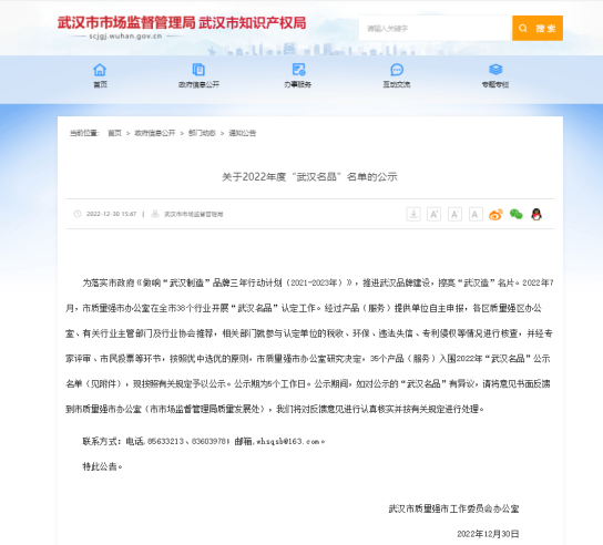
Zhongdi Digital was recognized as a "Wuhan Famous Product" in 2022
Zhongdi Digital's "MapGIS Big Data and Cloud Platform Software Service" has been recognized as a "Wuhan Famous Product" in 2022 for its independent innovation technology and excellent quality.

December
Zhongdi Digital has won multiple honorary awards
The MapGIS integrated operation platform for intelligence, intelligence, logistics, and public opinion has won the Smart Police Innovation Product Award from the Rule of Law Daily.
Zhongdi Digital has been awarded the title of "China Software Integrity Demonstration Enterprise".
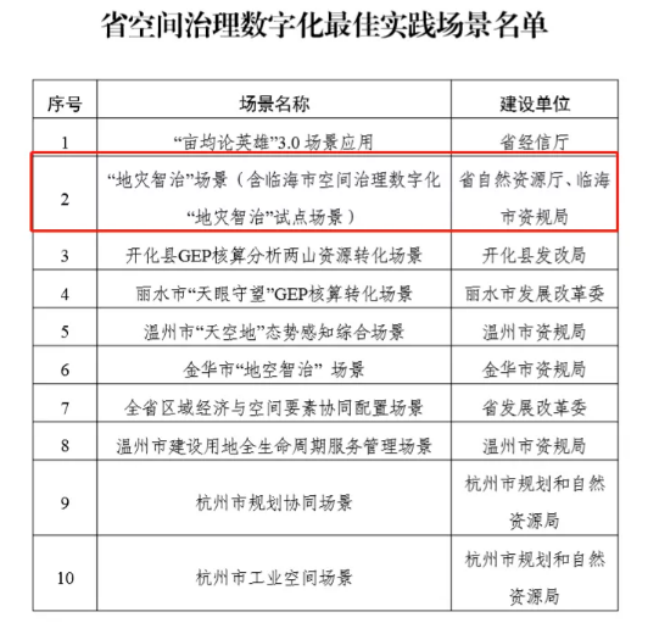
The Linhai project has been awarded the titles of "Best Scenario" and "Best Node" on the provincial spatial governance digital platform.
Zhongdi Digital was awarded the title of "Excellent Software Enterprise" in Hubei Province, and MapGIS Geographic Information System V10.5 was awarded the title of "Excellent Software Product".
December
The sub forum on full space intelligent GIS technology and application was successfully held
The "Full Space Intelligent GIS Technology and Application" sub forum, jointly organized by the Smart City Working Committee of the Chinese Society of Surveying and Mapping and China Ground Digital Group, focused on the key technological innovation and application of digital twin cities, and the attending experts conducted in-depth discussions.

November
Zhongdi Digital was invited to participate in the "5G+Beidou" sub forum of 2022 China 5G+Industrial Internet Conference
At the "5G+Beidou" sub forum of 2022 China 5G+Industrial Internet Conference, Wu Liang, professor of China University of Geosciences (Wuhan) and chairman of Wuhan Zhongdi Digital Technology Co., Ltd., shared with many experts in the field.
October
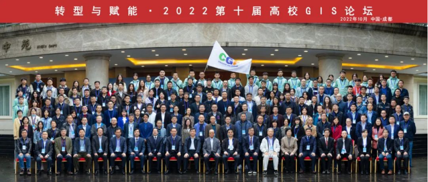
The 10th College GIS Forum 2022 was successfully held in Chengdu
The 10th College GIS Forum 2022, jointly organized by Southwest Jiaotong University, the Emergency Surveying and Mapping Technology Innovation Center of the Ministry of Natural Resources, and Zhongdi Digital Group, came to a successful conclusion in Chengdu.
September
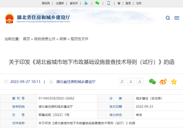
The Technical Guidelines for the Survey of Urban Underground Municipal Infrastructure in Hubei Province (Trial), co authored by Zhongdi Digital, have been officially released
The Technical Guidelines for Urban Underground Municipal Infrastructure Census in Hubei Province, organized and compiled by the Department of Housing and Urban Rural Development of Hubei Province, edited by Wuhan Surveying and Mapping Research Institute, and co authored by Wuhan Hanyang Municipal Construction Group Co., Ltd. and Zhongdi Digital, have been officially released.
September
Zhongdi Digital was invited to attend the China Smart City Conference
Zhongdi Digital was invited to share a keynote report at the "Real Scene 3D Innovation Application Forum" and engage in in-depth discussions with industry peers on cutting-edge technologies, industrial applications, scientific research achievements, and other hot topics related to smart cities.

September
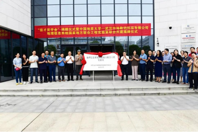
The unveiling ceremony of the National Local Joint Engineering Laboratory for Geographic Information Systems
China University of Geosciences Wuhan Zhongdi Digital Technology Co., Ltd. Geographical Information System National Local Joint Engineering Laboratory has officially been established.
October
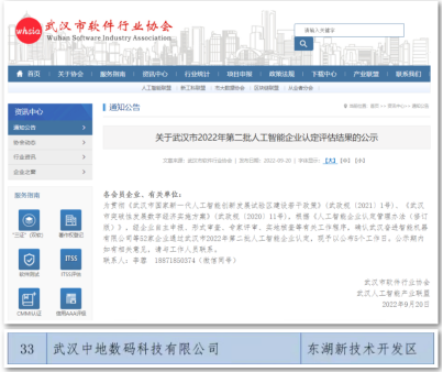
Recognized as the second batch of artificial intelligence enterprises in Wuhan in 2022
Recently, the Wuhan Software Industry Association released the results of the second batch of artificial intelligence enterprise recognition and evaluation in Wuhan for 2022. Zhongdi Digital has been recognized as an artificial intelligence enterprise for its advanced artificial intelligence technology and innovative applications in the geographic information industry.
September
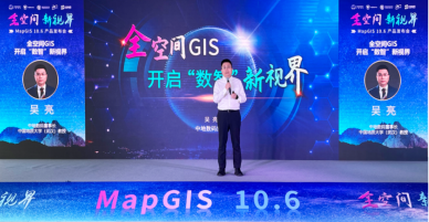
New Product MapGIS 10.6 Released
The new generation of full space intelligent GIS platform MapGIS 10.6 is full of highlights, featuring brand new geographic entity models, high fidelity rendering capabilities, a new data governance system, and a new low code development framework, all of which are refreshed!
August
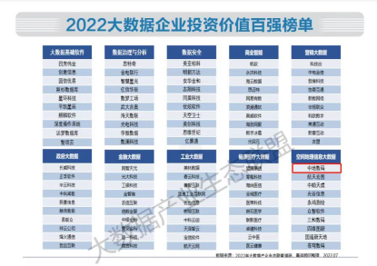
Ranked on the Top 100 Investment Value List of China's 2022 Big Data Enterprises
Recently, the 2022 (7th) Big Data Industry Ecology Conference was successfully held in Beijing, where the "2022 China Big Data Industry Ecological Map and China Big Data Industry Development White Paper" was released with great weight. The White Paper also released the "2022 Top 100 Investment Value List for Big Data Enterprises", with Zhongdi Digital ranking first in the field of spatial geographic information big data!
July
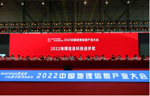
Won multiple industry awards and honors
Won the 2022 Geographic Information Industry Excellent Engineering Award with 3 gold, 1 silver, and 1 bronze medals;
Won one special prize, one first prize, and one second prize of the 2022 Geographic Information Technology Progress Award;
Two major innovation solutions, "Geographic Information System Big Data Platform Innovation Solution" and "Smart City Comprehensive Pipeline Network Solution Based on Domestic MapGIS Platform", have been selected as typical solutions for information technology innovation applications by the Ministry of Industry and Information Technology
June
The application scenario of "intelligent disaster management" in Linhai City has been selected as the first batch of "best applications" for digital reform in Taizhou City
In June, in the list of "Best Applications" for the first batch of digital reform in Taizhou City in 2022 "released by Taizhou City, the application scenario of intelligent disaster management in Linhai City was listed, becoming one of the first selected applications. This is the second time that it has received social attention and recognition, becoming a pioneer in digital reform and assisting Taizhou City in its digital transformation and upgrading, after winning the Best Practice Scene for Digitalization of Space Governance in Zhejiang Province and the Outstanding Case of Annual Natural Resource System Reform and Innovation.

May
Won multiple awards such as "Leading Enterprise in the Software Industry Platform and Software Field in 2021"
The 2022 China International Software Development Conference and the 5th China Software Industry Annual Conference, hosted by the China Software Industry Association, were grandly held. Zhongdi Digital has been awarded the title of "Leading Enterprise in the Software Industry Platform Software Field in 2021", and the "National Localization of Full Space MapGIS Spatiotemporal Big Data and Cloud Platform" has been recognized as a "Typical Demonstration Case in the Software Industry in 2021".
April
Invited to attend the GeoScience Caf é academic exchange conference
On April 8th, Dr. Tao Liufeng, Dean of the Research Institute of Zhongdi Digital Group, was invited to attend the 325th academic exchange lecture at GeoScience Caf é and shared a report on the theme of "Key Technologies and Applications of Autonomous and Controllable High Performance Geographic Information Systems".
March
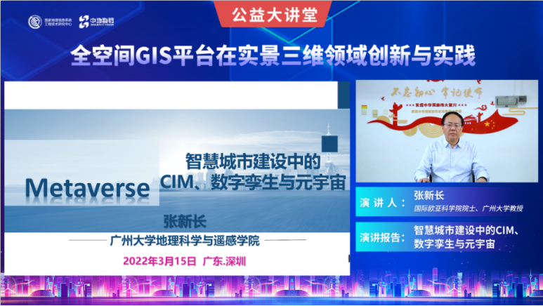
The Public Welfare Lecture on "Innovation and Practice of Full Space GIS Platform in the Field of Realistic 3D" was successfully held
On March 15th, the "Innovation and Practice of Full Space GIS Platform in Real 3D Field" public welfare lecture jointly organized by the National Geographic Information System Engineering Technology Research Center, Geographic Information System Industry Technology Innovation Strategic Alliance, and China Ground Digital Group kicked off online. Experts and professors discussed the construction of new smart cities, digital twins CIM、 From hot topics such as metaverse and spatial planning, over 10000 online attendees were presented with high-quality courses on policy interpretation, technological achievements, construction experience, and application demonstrations related to real-life 3D, outlining the future blueprint for China's construction in real-life 3D.
February
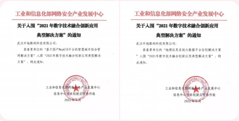
Two major innovation solutions from Zhongdi Digital have been shortlisted for the "Typical Solutions for Digital Fusion Innovation Applications in 2021"
The 2021 (3rd) Expert Review Meeting on Innovative Solutions for Information Technology Applications, hosted by the Network Security Industry Development Center and the Information Center Technology Innovation Application Cooperation Group of the Ministry of Industry and Information Technology, was successfully held. Both Zhongdi Digital's "Geographic Information System Big Data Platform Information Creation Solution" and "Smart City Comprehensive Pipeline Network Solution Based on Domestic MapGIS Platform" have been shortlisted for the "2021 Digital Fusion Innovation Application Typical Solution".

January
Zhongdi Digital won the Hubei Provincial Science and Technology Award
The Department of Science and Technology of Hubei Province has announced the list of award-winning projects for the 2021 Hubei Provincial Science and Technology Award. The "Wuhan (Urban Development Zone) Urban Geological Survey and Research" project, jointly completed by Wuhan Surveying and Mapping Research Institute, Hubei Geological Bureau Geophysical Exploration Brigade, and Wuhan Zhongdi Digital Technology Co., Ltd., has won the third prize of the Hubei Provincial Science and Technology Award.
January
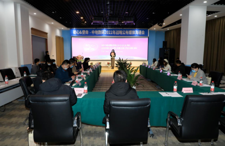
Zhongdi Digital announces 2022 strategic deployment, dual wheel drive to build GIS industry ecosystem chain
On January 14th, Zhongdi Digital held a media communication meeting for the 2022 strategic release, stating that the strategic focus of Zhongdi Digital in the coming years will be around the geographic information industry, from GIS product research and development to talent cultivation and the creation of the Simayun ecological chain, forming a matrix style comprehensive layout and deep cultivation of the entire industry. ”Professor Liu Yong, co-founder of Zhongdi Digital Group, gave a clear explanation on the strategic deployment of Zhongdi in the future.
January
Zhongdi Digital Linhai's "Intelligent Disaster Management" pilot scenario has been successfully selected as the best practice scenario for digital spatial governance in Zhejiang Province
The application of "Intelligent Management of Geological Disasters" is the only selected scenario in Taizhou City, combining the rich industry experience and independent technology of Zhongdi Digital, focusing on efficient management of geological hazards, and striving to build a perfect geological disaster prevention and control system, providing a replicable and scalable "coastal sample" for geological disaster prevention and control.
December
The 3rd New China Land Forum in 2021 was successfully held at Wuhan Zhongdi Science and Technology Park
On December 17, 2021, the 3rd New China Land Forum was held at Wuhan Zhongdi Science and Technology Park. The forum was held in a combination of online and offline methods, inviting experts and scholars from Wuhan University, China University of Geosciences (Wuhan), Tsinghua University, Yangtze University, Three Gorges University, and related enterprises in the field of geology and information technology to gather here for academic discussions and intellectual collisions.
December
The 9th University GIS Forum 2021 was successfully held in Changsha
On December 10-12, the 9th Higher Education GIS Forum 2021, jointly organized by Central South University, National University of Defense Technology, and Zhongdi Digital Group, came to an end in Changsha. Government departments, industry organizations, renowned academicians, experts and scholars, enterprise representatives, and teachers and students from nearly 100 universities across the country gathered in Xingcheng to communicate and exchange ideas on topics such as GIS academic frontiers, discipline construction, talent cultivation, innovation and entrepreneurship, and industrial development.
December
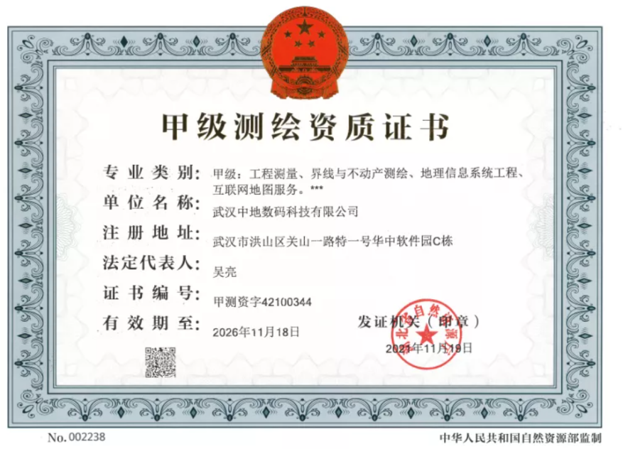
Zhongdi Digital has successfully passed the re examination and renewal of its Class A surveying and mapping qualifications
Recently, supervised by the Ministry of Natural Resources and approved by the Hubei Provincial Department of Natural Resources, Wuhan Zhongdi Digital Technology Co., Ltd. successfully passed the review and public announcement stage of surveying and mapping qualifications, and obtained the Class A surveying and mapping qualification certificate, which is the highest qualification level in the national surveying and mapping industry.
November
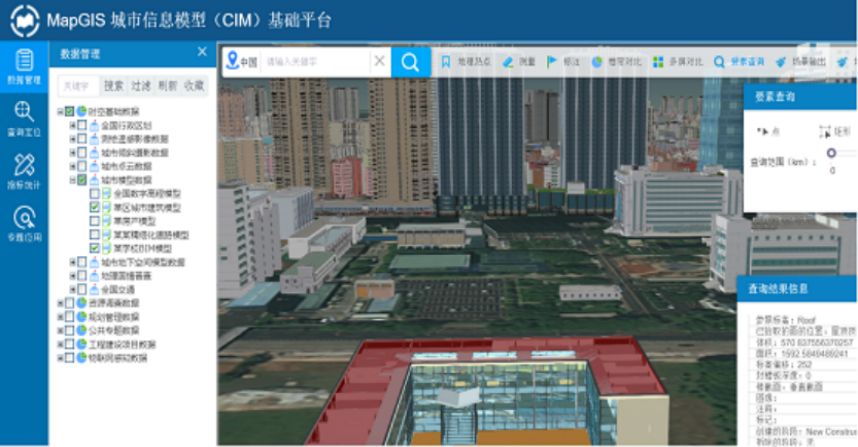
Zhongdi Digital MapGIS City Information Model (CIM) Basic Platform Won Excellent Software Award on the 2021 Smart City Pioneer List
The list of excellent software for the 2021 Smart City Pioneer List at the 15th China Smart City Conference has been announced. The MapGIS City Information Model (CIM) basic platform V10.5, developed by Zhongdi Digital based on independent GIS platform technology, stood out from many participating software and was awarded this honor.
November
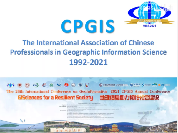
Zhongdi Digital Debuts at CPGIS 2021 International Academic Conference
The 28th International Conference on Geographic Information Science, hosted by the Chinese Association for Geographic Information Science (CPGIS), organized by Jiangxi Normal University, and sponsored by Wuhan Zhongdi Digital Technology Co., Ltd., was grandly opened in Nanchang. More than 300 experts and scholars from 22 countries, 101 universities, and 53 institutions participated in this academic conference, with over 30000 people from around the world participating online.
November
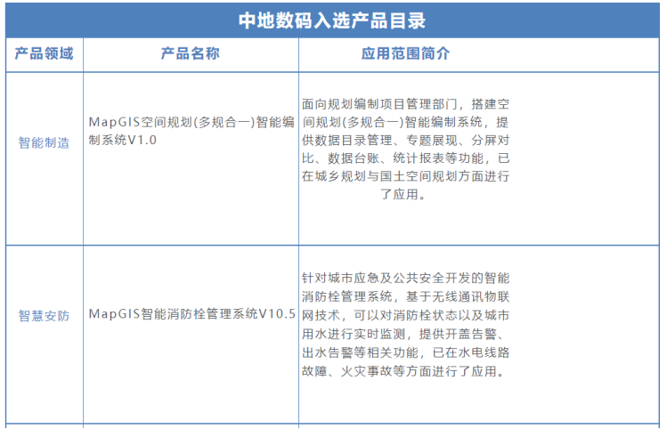
Zhongdi Digital products have been included in the first batch of "Wuhan New Generation Artificial Intelligence Product Catalog"
The Wuhan Science and Technology Bureau has compiled and published the "Wuhan New Generation Artificial Intelligence Product Catalog (First Batch)", and five products from Zhongdi Digital have been included in the first batch of Wuhan New Generation Artificial Intelligence Product Catalog due to their strong innovation capabilities, technological strength, and market performance.
November
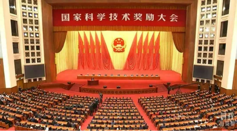
Zhongdi Digital won the second prize of National Science and Technology Progress Award in 2020
On November 3rd, the 2020 National Science and Technology Awards Conference was grandly held at the Great Hall of the People in Beijing. The "Key Technologies and Applications of Autonomous and Controllable High Performance Geographic Information Systems" completed by Zhongdi Digital won the second prize of National Science and Technology Progress Award in 2020.
November
Zhongdi Digital participated in the publication and distribution of "CIM Application and Development"
The Smart City Working Committee of the Chinese Society of Surveying and Mapping, together with Tsinghua University, Xiong'an New Area Smart City Innovation Federation, China Academy of Surveying and Mapping Sciences, Guanglianda Technology Co., Ltd., Wuhan Zhongdi Digital Technology Co., Ltd., and more than 60 well-known enterprises in the industry, has jointly published and distributed the book "CIM Application and Development".


October
Zhongdi Digital Debuts at the 2021 Academic Annual Meeting of the Chinese Society of Surveying and Mapping
On October 18, the 2021 academic annual meeting of the Chinese Society of Surveying and Mapping was held in Qingdao World Expo City, Shandong Province. CGI Digital was invited to participate in the meeting and won five awards. The construction project of the three-dimensional visualization information system for Dawu water source area in Zibo City won the gold medal of the 2021 excellent surveying and mapping project. The project of Wuhan Duoyao Urban Geological Whole Space Map, big data mining and mobile terminal platform won the silver medal of the 2021 excellent surveying and mapping project. The MapGIS two-dimensional and three-dimensional integrated pipe network information system and MapGIS Internet geographic information system won the 2021 surveying and mapping geographic information independent innovation product catalog. Huang Ying, assistant president of CGI Digital, won the 2021 Young Surveying and Mapping Geographic Information Technology Innovation Talent Award, and CGI Digital won the 2021 scientific and technological innovation award. Excellent unit award.
October
The 2021 Geographic Information Standardization and Spatiotemporal Big Data Platform Innovation Application Sub Forum was successfully held
On October 15th, the sub forum on "2021 Geographic Information Standardization and Innovative Application of Spatiotemporal Big Data Platform" was held, hosted by the China Geographic Information Industry Association and jointly organized by the National Geographic Information Standardization Technical Committee and Zhongdi Digital Group. Government and enterprise experts focus on topics such as geographic information standardization, platform technology innovation, ISO standards, and M3D specification achievements for discussion. Nearly 15000 professionals from the geographic information industry, industry applications, and media representatives attended the conference.

October
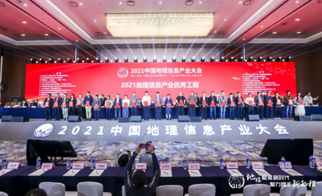
Zhongdi Digital Debuts at the 2021 China Geographic Information Industry Conference
On October 14th, the 2021 China Geographic Information Industry Conference opened in Wuhan. Zhongdi Digital has once again been listed as one of the top 100 enterprises in China's geographic information industry and has won many awards. The construction project of the four-dimensional geological environment visualization information system platform in Jinan urban area won the 2021 Geographic Information Industry Excellent Engineering Gold Award. The construction and related service project of the rural land contract management right management information system in Guangdong Province, as well as the construction project of the Guilin smart water supply system, won the Excellent Engineering Silver Award and Bronze Award. During the innovation show, Wu Meng, a senior application researcher at Zhongdi Research Institute, shared the "MapGIS CIM Platform".
September
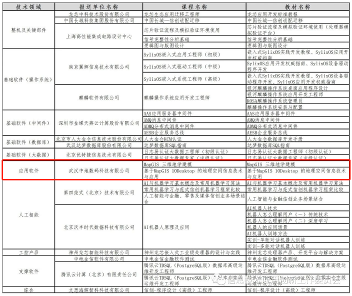
Zhongdi Digital has become one of the first units to receive innovative training courses on information technology applications
The Information Technology Application Innovation Working Committee of the China Electronics Industry Standardization Technology Association is soliciting information technology application innovation training courses from member units. Two courses and textbooks, "MapGIS 3D Geological Modeling" and "Geospatial Information Technology and Application Based on MapGIS 10Desktop," from Zhongdi Digital, have been successfully included in the first batch of information technology application innovation training courses.

September
Zhongdi Digital has been selected as an excellent case promotion enterprise for enterprise digital transformation
On September 5, the "Enterprise Digital Transformation Summit Forum" hosted by the China Electronic Information Industry Federation was grandly held at the China International Digital Economy Expo. Three outstanding cases of the implementation of the "one map" of land space planning of CGI Digital, including the supervision information system, the "Internet plus" information management system of natural resources and real estate, and the integrated dispatching platform of information, guidance, diligence and public opinion, were shortlisted in the "Promotion Catalog of 100 Excellent Cases of Enterprise Digital Transformation".
September
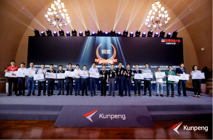
In the 2021 Kunpeng Application Innovation Competition National Finals, DiDi Digital achieved excellent results again
On September 3rd, the 2021 Kunpeng Application Innovation Competition National Finals were successfully held at Songshan Lake in Dongguan. Zhongdi Digital's "Smart City Spatiotemporal Big Data Base Solution" won the Bronze Award in the Large Enterprise Track. As one of the only two award-winning enterprises in Hubei Province, Zhongdi Digital has become a model for Kunpeng to empower Hubei enterprises to "go global".
August
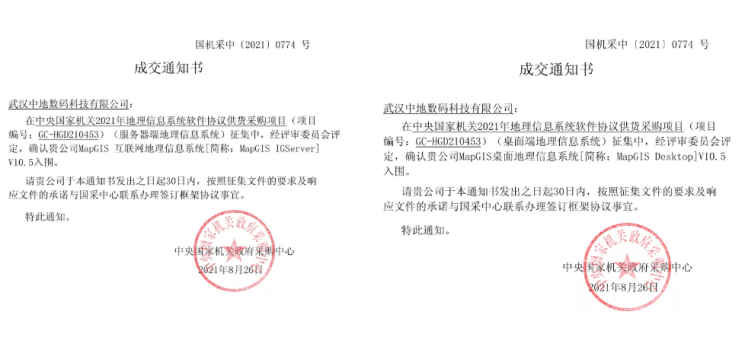
Zhongdi Digital MapGIS shortlisted for central procurement list
On August 30th, the announcement of the completion of the 2021 Geographic Information System software protocol supply and procurement project for central government agencies was released. Zhongdi Digital successfully entered the list of procurement suppliers with MapGIS IGServer V10.5 and MapGIS Desktop V10.5.
July
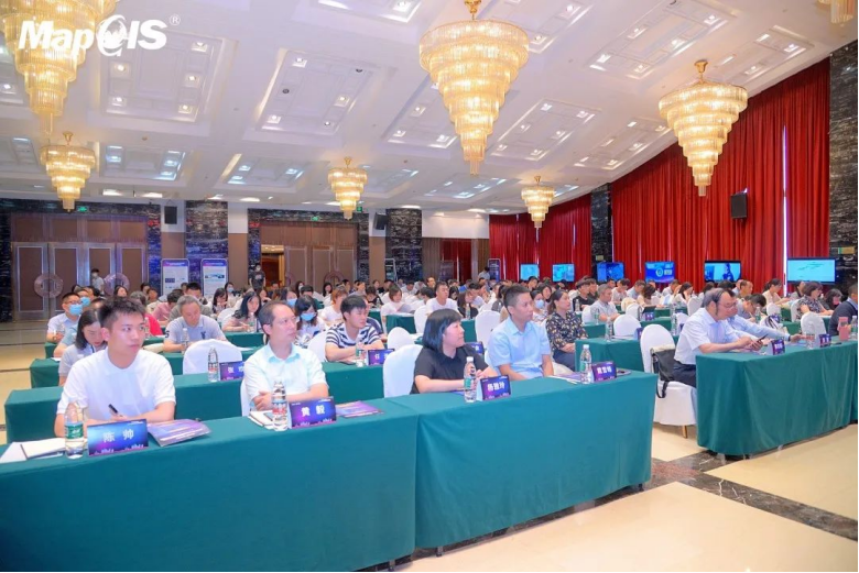
The 2021 MapGIS Technology Innovation Seminar has successfully set sail
From July to August, the 2021 GIS Technology Innovation Seminar on "Dual Wheel Drive for Distant Progress" was held successively in cities such as Sichuan, Shaanxi, Henan, and Shandong. Experts and scholars from government agencies, research institutes, universities, enterprises and institutions at all levels across the country, as well as representatives of MapGIS ecological partners, attended the conference.
July
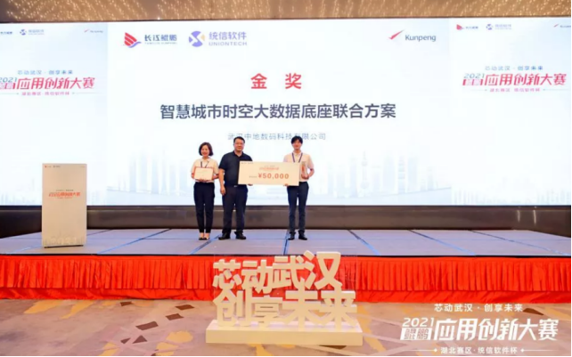
Zhongdi Digital won the Gold Award in the 2021 Hubei Division of Kunpeng Application Innovation Competition
On July 31st, the "Chip Moving Wuhan, Creating a Shared Future" Kunpeng Application Innovation Competition 2021 Hubei Region · Tongxin Software Cup, jointly organized by the Yangtze River Kunpeng Ecological Innovation Center and Tongxin Software Technology Co., Ltd., successfully concluded in Wuhan Optics Valley. 42 Kunpeng industrial chain enterprises competed fiercely, and the joint solution of Zhongdi Digital Smart City Time Space Big Data Base won the gold medal in the big enterprise track.
July
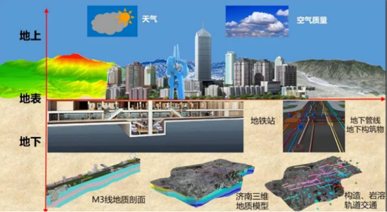
The expert evaluation meeting for the "Information System Construction and Service Capability Evaluation System" of the China Electronic Information Industry Federation was successfully held, and Zhon
The construction project of the Four Dimensional Geological Environment Visualization Information System Platform for Jinan Urban Area, which was jointly undertaken by Zhongdi Digital, is the first four-dimensional geological platform in China with completely independent intellectual property rights. It provides decision support for the preparation, planning and design, construction, operation and maintenance of the Jinan rail transit network at all stages.
June
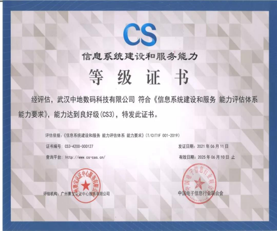
Zhongdi Digital has passed the CS3 certification for information system construction and service capability evaluation system
The expert evaluation meeting for the "Information System Construction and Service Capability Evaluation System" of the China Electronic Information Industry Federation was successfully held, and Zhongdi Digital passed the CS3 level (good level) certification, reaching a new peak in independent innovation of system integration.
June
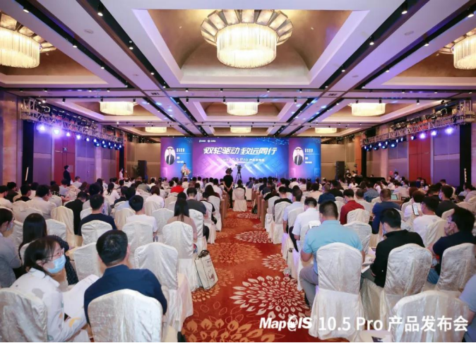
MapGIS 10.5 Pro "Dual Wheel Drive" New Product Release
On June 17th, the MapGIS 10.5 Pro product launch event with the theme of "Dual Wheel Drive for Distant Progress" was successfully held in Beijing. The conference was live streamed online at the same time, and nearly 20000 people from the geographic information industry, industry application fields, and media representatives attended the event.
May
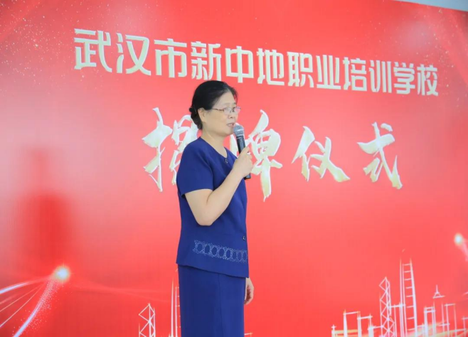
The unveiling ceremony of Wuhan Xinzhongdi Vocational Training School was successfully held
On May 28th, the unveiling ceremony of Wuhan New Zhongdi Vocational Training School was held grandly in Wuhan Zhongdi Science and Technology Park. Relying on the strong scientific research, teaching staff, and project resources of the National Geographic Information System Engineering Technology Research Center and Zhongdi Digital Group, GIS vocational training and talent cultivation work will be carried out.
April
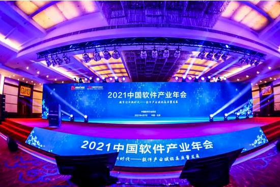
Zhongdi Digital Returns with Honor at the 2021 China Software Industry Annual Conference
On April 7, 2021, the "2021 China Software Industry Annual Conference" hosted by the China Software Industry Association was grandly held in Beijing. Wan Bo, President of Zhongdi Digital, was awarded the title of "Outstanding Entrepreneur", and MapGIS 3D Urban Geological Information Management and Consulting Service System V1.0 won the "Excellent Solution" award.
March
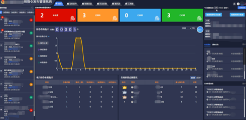
The integrated platform product of sentiment, intelligence, diligence, and public opinion has been awarded the Excellent Software Product of 2021
After winning the "Excellent Solution for Smart Police Affairs" award for national political and legal intelligence construction in November 2020, the integrated platform product of intelligence, intelligence, logistics, and public opinion has once again been awarded the "Excellent Software Product of 2021".
March
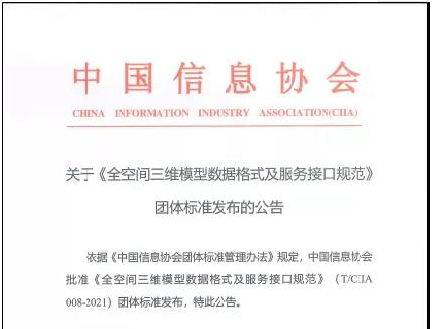
Group standard release of "Specification for Data Format and Service Interface of Full Space 3D Model"
On March 9, 2021, after review and approval by the China Information Association, the "Full Space 3D Model Data Format and Service Interface Specification" (M3D) group standard was released. The standard was drafted by the National Geospatial Information Center, with the participation of more than 20 units including the Information Center of the Ministry of Housing and Urban Rural Development, the Information Center of the Ministry of Industry and Information Technology, the National Geographic Information System Engineering Technology Research Center, the Development Research Center of the China Geological Survey, the Shenzhen Digital City Engineering Research Center, Shenzhen Zhongdi Software Engineering Co., Ltd., and Wuhan Zhongdi Advanced Technology Research Institute Co., Ltd.

January
Zhongdi Digital was awarded the recognition of Excellent High tech Enterprise and Famous High tech Product in Wuhan in 2020
After the process of enterprise application, formal review, and third-party expert review, Wuhan Zhongdi Digital Technology Co., Ltd. was finally recognized as an excellent high-tech enterprise in Wuhan in 2020. The technology products such as "MapGIS Land and Space Basic Information Platform V1.0" and "MapGIS Smart City Cloud Platform V10.3" were recognized as famous high-tech products in Wuhan in 2020.
January
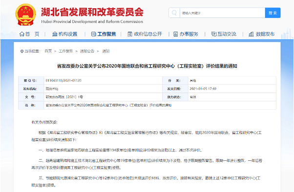
The National Local Joint Engineering Laboratory of Geographic Information Systems was awarded the title of "Excellent" by the Hubei Provincial Development and Reform Commission
2021年1月5日,湖北省发展和改革委员会公布了2020年国地联合和省工程研究中心(工程实验室)评价结果,以武汉中地软件股份有限公司为主要承担单位的GIS湖北省工程实验室/地理信息系统国家地方联合工程实验室评价结果为优秀,高居榜首。
January
MapGIS Natural Resource Asset Inventory and Database Building System is Released with Heavy Weight
The MapGIS natural resource asset inventory and database construction system utilizes the results of various special resource surveys, using state-owned land from the third national land survey as the working base map, combined with field supplementary surveys, to achieve physical inventory of the quantity, use, distribution, and other aspects of various resources; Collect data based on various resource inventory price information, estimate the economic value of assets, and assist county-level natural resource management departments in efficiently grasping the six types of resources including land, minerals, forests, grasslands, wetlands, and oceans.
December
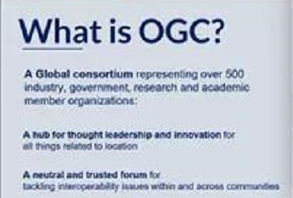
Zhongdi Digital was invited to participate in the 117th OGC Member Conference China Forum Meeting
The 117th OGC Member Conference, hosted by the Open Geospatial Information Consortium (OGC), will be held online from December 7th to 11th. On December 8th, Zhongdi Digital was invited to attend the OGC China Forum as an OGC member unit.
November
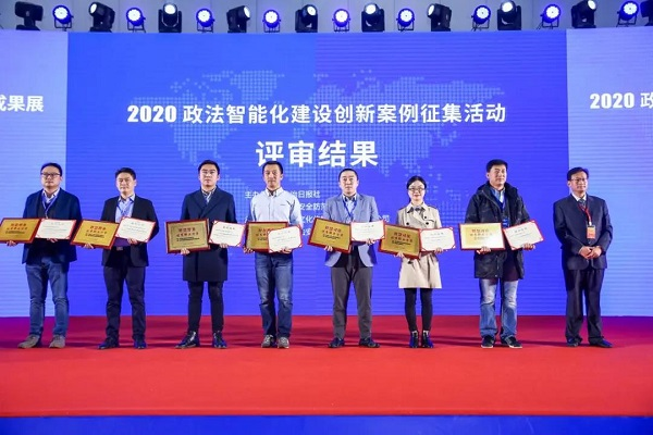
Zhongdi Digital Yichang Public Security Bureau's instruction release management system solution was awarded the "Excellent Smart Police Solution" for the 2020 National Political and Legal Intelligence
On November 18-19, the 2020 National Symposium on Political and Legal Intelligence Construction and the National Exhibition of Political and Legal Intelligence Construction Technology Equipment and Achievements were held at the Beijing National Convention Center. The results of the "2020 Political and Legal Intelligence Construction Innovation Case and Paper Collection Activity" were released, and the Zhongdi Digital Yichang Public Security Bureau Command Release Management System Solution stood out among more than 175 innovative cases in political and legal units nationwide, and was awarded the "Excellent Solution for Smart Police Affairs" in the 2020 National Political and Legal Intelligence Construction.
November
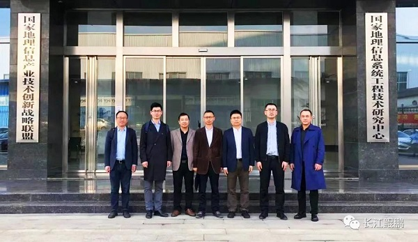
The first joint laboratory of Changjiang Kunpeng has been established
In order to achieve the healthy and orderly development of the Kunpeng ecosystem, accelerate ecological integration and upstream and downstream cooperation of the industrial chain, the Yangtze Kunpeng Ecological Innovation Center adheres to the ecological construction concept of openness, pragmatism, and win-win, actively carries out various forms of ecological cooperation with various industries, and works together with partners to create joint solutions and promote better and faster development of the industry. Recently, the MapGIS Geographic Information System Joint Laboratory, jointly established by Changjiang Kunpeng and Wuhan Zhongdi Digital Technology Co., Ltd. (hereinafter referred to as "Zhongdi Digital"), was officially established. Zhong Cailiang, Chairman of Changjiang Kunpeng, and Wu Liang, Chairman of Zhongdi Digital, attended the event and signed a strategic cooperation agreement.
November
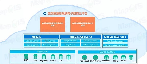
New Release of Natural Resources and Planning E-Government Cloud Platform Product
According to the Overall Plan for the Construction of the Natural Resources Survey and Monitoring System, the Ministry of Natural Resources will take the exercise of the "two unifications" responsibilities in accordance with the law as the overall goal, focus on the goals of ecological civilization construction and the strategic deployment of building a strong cyber nation, further improve the efficiency of "engineering construction project approval", deeply promote the integration of multiple regulations, and deepen the reform of "streamlining administration, delegating powers, and improving services". Based on the MapGIS national industrialization platform, CGI Digital has made full use of new technical frameworks such as cloud computing, big data, and the Internet, and has launched a new natural resources and planning e-government cloud platform based on the unified "one network", "one map", and "one platform" of natural resources in accordance with the idea of full business and full process information management.
October
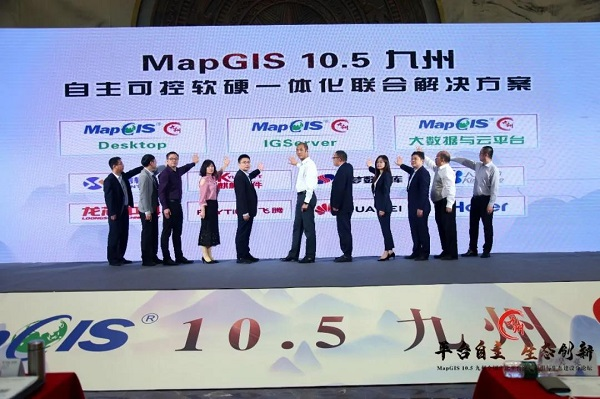
Three independent and controllable integrated software and hardware solutions, MapGIS Desktop (Kyushu), MapGIS IGServer (Kyushu), and MapGIS Kyushu Big Data and Cloud Platform, have been released
On October 23rd, the 2020 China Geographic Information Industry Conference opened in Nanning. The "Platform Independent Ecological Innovation - MapGIS 10.5 Kyushu National Industrialization Platform Innovation Application and Ecological Construction Sub Forum" was successfully held. During the forum, a signing ceremony for MapGIS information innovation ecological strategic cooperation was held. Zhongdi Digital signed strategic cooperation agreements with seven leading information innovation enterprises, including Kirin Software, Loongson Zhongke, Dameng Database, Haier, Tongxin Software, Feiteng, and Renmin Jincang. Three independent and controllable software and hardware integrated joint solutions, MapGIS Desktop (Kyushu), MapGIS IGServer (Kyushu), MapGIS Kyushu Big Data and Cloud Platform, were also released at the same time, marking the down-to-earth and steady progress of MapGIS information innovation ecological construction and moving towards a new level!
September
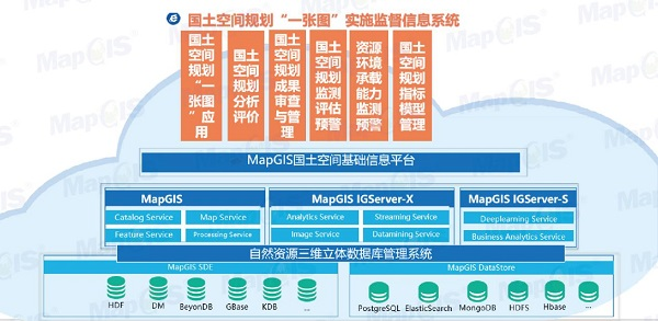
MapGIS Land Spatial Planning "One Map" Implementation Supervision Information System Newly Released
Faced with the urgent need to carry out national spatial planning and construction of natural resources under the new situation, focusing on the goal of ecological civilization construction and the strategic deployment of building a strong network country, domestic GIS platform and solution provider Zhongdi Digital has officially launched the "One Map" implementation supervision information system for national spatial planning based on the MapGIS national production platform, adhering to the intelligent planning informationization concept of perceptible, learnable, good governance and adaptive, supported by the MapGIS national spatial basic information platform, fully utilizing cutting-edge technologies such as big data, blockchain, artificial intelligence, etc., on the unified "One Network", "One Map" and "One Platform" of natural resources.
July
MapGIS 10.5 Kyushu National Production GIS Platform New Product Release
On July 22nd, the MapGIS 10.5 Kyushu National Production GIS Platform New Product Launch Conference with the theme of "Platform Independence and Ecological Innovation" was successfully held. This is the first time that MapGIS has released a new product online in the form of live streaming. Nearly 20000 professionals in the geographic information industry gathered in the cloud to witness the milestone moment of MapGIS 10.5's release in Kyushu.
July
MapGIS National Spatial Basic Information Platform Selected as "Outstanding Software Product of 2020"
In order to promote excellent software products nationwide, cultivate famous software brands, and prepare for the widespread implementation of government procurement, public bulk procurement, large-scale key information engineering bidding and evaluation, and the selection of excellent software products for export, the China Software Industry Association launched the 2020 promotion of excellent software products activity. After strict data review, expert evaluation and other processes, the China Digital MapGIS Land Space Basic Information Platform 1.0 was successfully selected as the "2020 Excellent Software Product List"!


May
Top 10 Advances in Geological Survey for 2019 Released, MapGIS Helps Two Major Projects Successfully Selected
The 2020 National Geological Survey Work Conference was successfully held, and the conference announced the results of the "Top Ten Advances in Geological Survey in 2019" selection and reported on the quality inspection of geological survey projects in 2019. The "Comprehensive Geological Survey of Natural Resources in Chengde Ecological Civilization Demonstration Zone" project led by the China Geological Environment Monitoring Institute and the "Shale Gas Database System Update and Maintenance" project led by the Oil and Gas Resources Survey Center of the China Geological Survey Bureau have been included in the "Top Ten Advances in Geological Survey in 2019". China Ground Digital participated in the informationization content construction of the two projects, helping them to be completed smoothly.
April
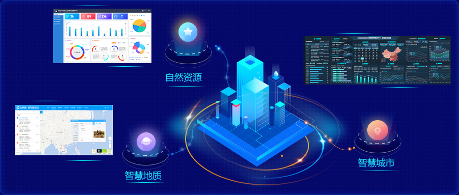
Three major fields and seven nationally produced MapGIS industry application software have been launched
Today, while forming a complete MapGIS national production platform product system, Zhongdi Digital is also continuously consolidating the application software of the national production GIS industry. Currently, significant achievements have been made in three major application areas: natural resources, smart geology, and smart cities, and seven complete domestic industry application products have been developed.
November
2019 Final Work, MapGIS 10.3.5 Core Technology Upgrade Overview
Zhongdi Digital has always focused on the product concept of full space intelligent GIS platform in 2019, committed to technological upgrading and innovative applications, and has forged the core competitiveness of domestic GIS platforms with independent, safe, and controllable domestic platforms. MapGIS 10.3.5, as the final work of Zhongdi Digital in 2019, has once again upgraded its cloud integrated product family from the perspective of deep insight and sharing of spatial geographic information.
June
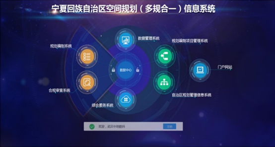
The first provincial-level comprehensive planning and management system project in China won the Gold Award for Excellent Engineering in the Geographic Information Industry
The China Geographic Information Industry Association has announced the list of outstanding projects in the geographic information industry for 2019, and the Ningxia Hui Autonomous Region Spatial Planning (Multi discipline Integration) Information System project, undertaken by Zhongdi Digital, has won the gold award.
June
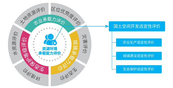
MapGIS spatial planning "dual evaluation" software is heavily released
In response to the new demands of spatial planning in the new era, Wuhan Zhongdi Digital Technology Co., Ltd. recently officially released the "MapGIS Resource and Environmental Carrying Capacity and Land Spatial Development Suitability Evaluation System" (hereinafter referred to as the "MapGIS Dual Evaluation" system).
June
The "Two Center Integration" project of Ezhou Public Security Bureau has won the Gold Award for Excellent Engineering in China's Geographic Information Industry
In June 2019, the "Two Center Integration" project of Ezhou Public Security Bureau won the China Geographic Information Industry Excellent Engineering Gold Award. The project fully integrates the development achievements of information technology such as GIS, big data, Internet of Things, and mobile internet with new technologies and concepts in the field of public safety, and establishes a smart new command system that integrates intelligence, command, service, and public opinion. It achieves full coverage of three types of police situations: normal, major, and special, and creates a series of highlights.

May
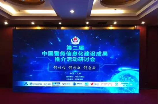
The "Integrated Project of 'Linkage Command Center+Public Security Command Center' of Ezhou Public Security Bureau" won the "Best Integrated Intelligent Command and Dispatch Solution" award
In order to further strengthen the construction of public security technology informationization, promote and publicize innovative achievements in police informationization, and accelerate the landing of more outstanding achievements in the public security system, the "Second China Police Informationization Construction Achievements" promotion activity is soliciting ten types of excellent police informationization projects, including the best big data solution, the best intelligent mobile policing solution, the best integrated intelligent command and dispatch solution, and the best public security independent innovation solution, from public security organs and enterprises and institutions across the country. At the meeting, the list of winners for this promotion event was announced, and Zhongdi Digital won the "Best Integrated Intelligent Command and Dispatch Solution" award with its "Ezhou Public Security Bureau's' Joint Command Center+Public Security Command Center 'Integrated Project".
May
Zhongdi Digital: Fulfilling Social Responsibility to Assist Precise Poverty Alleviation
As a national GIS enterprise full of patriotism, Zhongdi Digital deeply implements the "Opinions of the Central Committee of the Communist Party of China and the State Council on Implementing the Rural Revitalization Strategy" and the important speech of General Secretary Xi Jinping on poverty alleviation, responds to the initiative of the China Geographic Information Industry Association, actively participates in the work of "poverty alleviation" and "rural revitalization" in Moqi, and practices the social responsibility of national enterprises in the best way possible.


March
Huawei and Zhongdi Space Time Big Data Joint Solution Officially Released!
On March 21-22, the 2019 Huawei China Ecological Partner Conference with the theme of "Born from Gathering, Intelligent Evolution" was held in Fuzhou. Zhongdi Digital, as an important partner of Huawei in the field of spatial geographic information, was invited to attend and released the "Huawei& More than 20000 guests witnessed the release of two solutions, the "Zhongdi Space Time Big Data Joint Solution" and the "Huawei Cloud Zhongdi Digital Smart City Strict Selection Solution".
March
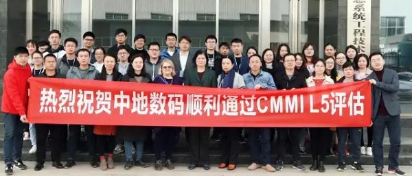
Zhongdi Digital has obtained the highest level certification in the global software field through CMMI L5
On March 15th, Wuhan Zhongdi Digital Technology Co., Ltd. officially passed the CMMI, which is the most difficult and highest level software development capability maturity evaluation internationally; L5 Certification marks that the company's software technology research and development capabilities and management level have reached the highest international standards.
December
Zhongdi Digital Hangzhou Geological Informatization Research Base officially settled in Zhejiang Geological Science and Technology Innovation and Entrepreneurship Park
On December 25-26, Zhejiang Geological Science and Technology Innovation and Entrepreneurship Park officially opened, and Zhongdi Digital Hangzhou Geological Informatization Research Base officially settled in the park. Zhongdi Digital President Wan Bo unveiled the plaque for the base's entry. The opening ceremony of this park is themed "Focusing on Geological Technology and Promoting Innovative Development", aiming to further leverage the advantages of geological technology, promote the supply side reform of the geological service industry, broaden the field of geological work services, and improve the quality and level of geological services.
December
New Era, New Ideas, New China "- The First New China Forum 2018 was successfully held in Han
To promote ideological exchange, technological exploration, industrial expansion, and innovation and entrepreneurship incubation, and to advance the development of the geographic information industry and ecosystem construction, the 2018 First New China Land Forum, hosted by the National Geographic Information System Engineering Technology Research Center and jointly organized by the New China Land Education Group and the National Geographic Information System Industry Technology Innovation Alliance, was grandly opened on December 15th at the Wuhan Zhongdi Science and Technology Park.
This year's New China Earth Forum was chaired by Professor Xie Zhong, Director of the National Geographic Information System Engineering Technology Research Center, and Professor Zhou Shunping from China University of Geosciences (Wuhan). Many well-known experts and scholars from relevant research institutions and universities in the fields of geospatial information and smart cities across the country attended the conference.

November
Huawei and Zhongdi Smart City Time Space Big Data and Cloud Platform Solution Release
Focusing on ecology and innovation implementation, on November 30th, after a period of channel and technology docking between China and Huawei, Zhongdi Digital officially became a "Huawei Certified Solution Partner" and worked together with Huawei to create and successfully release the "Huawei&Zhongdi Smart City Time Space Big Data and Cloud Platform Solution".
November
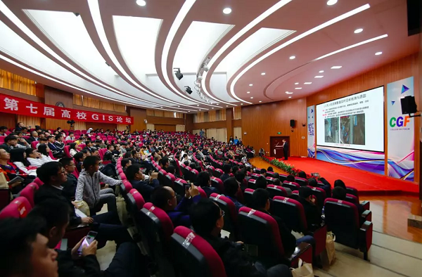
The 7th University GIS Forum 2018 was successfully held at Yunnan Normal University
The 7th Higher Education GIS Forum of "Wisdom and Win win" was successfully held in Kunming from November 9-11, 2018. This forum is a grand event in the field of geographic information science in China and one of the theme activities for the 80th anniversary of the founding of Southwest Associated University in Kunming and Yunnan Normal University. The forum brought together more than 400 people from governments, industry associations, well-known academicians and experts at home and abroad, representatives of geographic information and Internet enterprises, as well as teachers and students from dozens of colleges and universities across the country, to jointly discuss the development of GIS industry, GIS scientific research and education status analysis, innovation and entrepreneurship, spatial information and big data, cloud computing and other topics under the new economic, industrial background and educational conditions.
November
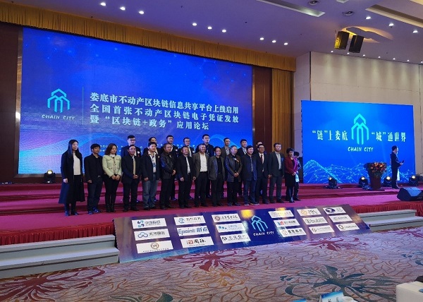
The first blockchain real estate electronic certificate in China is born, and MapGIS explores new technologies for real estate registration information management
On November 13th, the blockchain information sharing platform for immovable production areas in Loudi City, Hunan Province was officially launched and put into use. Through this platform, a local citizen obtained the country's first electronic certificate of immovable production area blockchain. pick
Since its inception, the MapGIS platform has undergone iterative upgrades, continuously absorbing and integrating advanced technologies, and making innovative breakthroughs. Today, the real estate production area blockchain information sharing platform in Loudi City was officially launched, which is an exploration of the integration and development of MapGIS and blockchain technology.
September
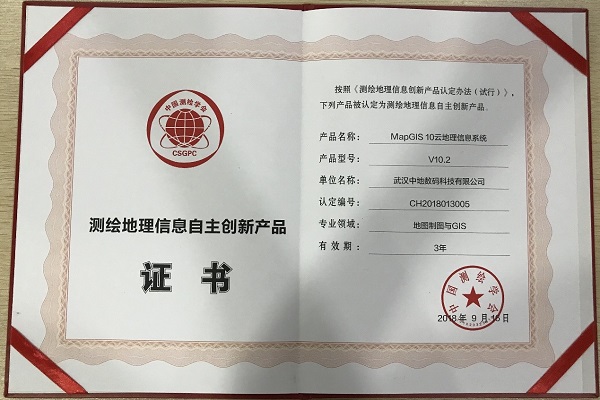
MapGIS 10 cloud geographic information system won the 2018 independent innovation product certification for surveying and mapping geographic information
On September 26-28, 2018, the 2018 Academic Annual Conference of the Chinese Society of Surveying and Mapping was held. Zhongdi Digital won the 2018 Excellent Surveying and Mapping Unit Award for Technological Innovation, and MapGIS 10 Cloud Geographic Information System was awarded the 2018 Independent Innovation Product Certification for Surveying and Mapping Geographic Information.
July
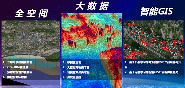
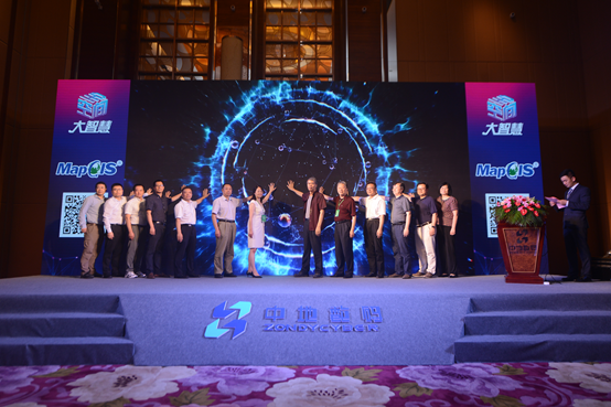
MapGIS 10.3 Full Space Intelligent GIS Platform Formally Released
From July 25th to 27th, the 2018 China Geographic Information Industry Conference with the theme of "New Era, New Opportunities, and New Development" was held at the Hainan International Convention and Exhibition Center. The "Innovation Technology and Application Forum of Full Space Intelligent GIS" was held simultaneously, focusing on the three major fields of full space, big data, and intelligent GIS, sharing the new features and latest research and development achievements of MapGIS 10.3 full space intelligent GIS platform.
The MapGIS 10.3 full space intelligent GIS platform is another milestone product after the release of MapGIS 10.2 two years ago. The new platform integrates advanced technologies such as big data, the Internet of Things, cloud computing, and artificial intelligence. It visualizes the concept of the entire space, insights from big data, and perceptions from artificial intelligence through the language of GIS, enabling easy to understand expressions. It realizes the storage, management, efficient integration, and analysis of large-scale geographic data, providing stronger technical support for various industries and their applications in the field of geographic spatial information.
June
Hunan Province's 3D visualization urban geological data information service and management system won the gold award
The China Geographic Information Industry Association has announced the results of the 2018 Excellent Engineering Selection for the Geographic Information Industry. After the application, preliminary review, evaluation, defense, and overall evaluation procedures, the "Hunan Province 3D Visualization Urban Geological Data Information Service and Management System" jointly constructed by Hunan Provincial Land and Resources Information Center and Wuhan Zhongdi Digital Technology Co., Ltd. won the 2018 China Geographic Information Industry Excellent Engineering Gold Award. The construction of the "Hunan Province 3D Visualization Urban Geological Data Information Service and Management System" is one of the core tasks of the "Changsha Zhuzhou Xiangtan Urban Agglomeration Core Area Geological Data Information Service Cluster Industrialization Project". The main task is to achieve unified management and analysis of various geological data in the core area of the Changsha Zhuzhou Xiangtan Urban Agglomeration, and provide decision support for urban construction, planning and management.


June
Chongzhou Municipal Government and Zhongdi Digital signed a strategic cooperation agreement
On June 8th, in Chongzhou City, the ancient capital of Sichuan Province, the President of Zhongdi Digital Wanbo and Deputy Mayor Ye Zhijun of Chongzhou Municipal People's Government jointly signed a strategic cooperation agreement. The two sides will carry out comprehensive cooperation in big data industrialization, smart city construction, and talent cultivation. Mao Xiangyang, member of the Standing Committee of the Chongzhou Municipal Party Committee and Minister of the United Front Work Department, Zheng Wenxue, Deputy Mayor, along with leaders from relevant units such as the Municipal Economic and Information Bureau, the Municipal Electricity Office, and the Chongzhou Big Data Alliance, as well as Liu Yong, President of Zhongdi Digital Group, along with leaders from the Group Technical Support Center and Zhongdi Digital Sichuan Chongqing region, attended the signing symposium.
March
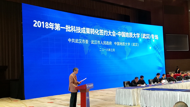
Building a collaborative industry university research alliance and innovation system to create a new round of spatial information industry ecosystem
On the morning of March 17th, the China University of Geosciences (Wuhan) held a special session at the Wuhan Convention Center for the signing of the first batch of scientific and technological achievements transformation contracts in 2018. At the meeting, Zhongdi Digital Group signed a GIS (Geographic Information System) technology achievement transformation and industrial cooperation project with China University of Geosciences (Wuhan) Asset Company, with a contract amount of 450 million yuan. Chen Yixin, Deputy Secretary of the Hubei Provincial Party Committee and Secretary of the Wuhan Municipal Party Committee, and other provincial and municipal leaders, as well as He Guangcai, Secretary of the Party Committee of China University of Geosciences (Wuhan), and President Wang Yanxin, attended the meeting and witnessed the signing of the project.
January
Another technology of MapGIS has reached the international advanced level
On December 23, 2017, the Department of Land and Resources of Hunan Province organized experts to conduct an acceptance inspection of the results of the "Industrialization of Geological Data Information Service Cluster in the Core Area of Changsha Zhuzhou Xiangtan Urban Agglomeration" project in Changsha.
In the acceptance meeting, experts evaluated the achievements of the "Industrialization of Geological Data Information Service Cluster in the Core Area of Changsha Zhuzhou Xiangtan Urban Agglomeration" and believed that the project technology is advanced and has high promotion and application value. The evaluation committee unanimously agreed that the overall project achievements have reached the leading level in China and reached the international advanced level in three-dimensional modeling accuracy control.
November
Two months after the launch of Geological Cloud 1.0, cloud GIS technology is used to construct a new geological survey model
Since "Geocloud 1.0" was officially launched two months ago on November 6, 2017, the daily average number of visits has exceeded 6000, and its application effect in geological survey management and emergency event service has initially appeared. After the 6.9 magnitude earthquake in Milin County, Linzhi City, Xizang, it only took 10 hours to provide a series of earthquake area geological information products for emergency rescue online. In the poverty alleviation work in the Gannan Soviet Area, Geocloud combined the advantages of the geological industry with the resource advantages of the Gannan Soviet Area, and embarked on a "geological survey+" characteristic poverty alleviation path. It has also provided important services in important national strategies and economic deployments such as the Beijing Tianjin Hebei, Yangtze River Economic Belt, and Anhui River Economic Belt.
November
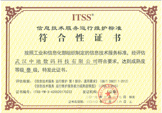
Zhongdi Digital has passed ITSS Level 3 certification
On October 27, 2017, Wuhan Zhongdi Digital Technology Co., Ltd. was evaluated and confirmed by the ITSS Branch of the China Electronics Industry Standardization Technology Association, and passed the third level certification of operation and maintenance service capability maturity (ITSS). This marks a new level of operation and maintenance service capability for Wuhan Zhongdi Digital, and its IT service management level has been recognized by national authoritative institutions!
October
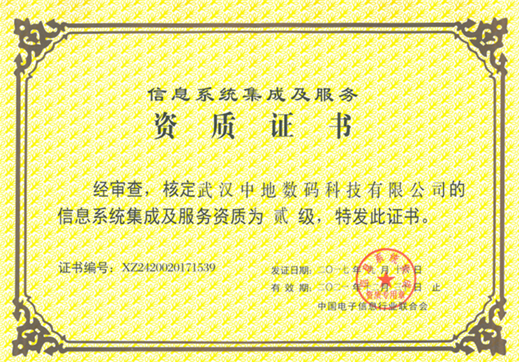
Zhongdi Digital has obtained the second level qualification for information system integration and services
On October 9, 2017, Zhongdi Digital received the "Information System Integration and Service Level 2 Qualification Certificate" issued by the China Electronic Information Industry Federation. This qualification is a reflection of the comprehensive strength of enterprises engaged in computer information system integration. Obtaining this qualification marks the enhancement of Zhongdi Digital's computer information system construction strength and a new level of information system construction.
August
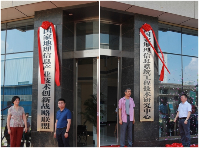
National Geographic Information System Engineering Technology Research Center and Geographic Information Industry Technology Innovation Strategic Alliance settle in Zhongdi Science and Technology park
On August 23rd, with passion and the rising sun in the sky, the National Geographic Information System Engineering Technology Research Center and the National Geographic Information Industry Technology Innovation Strategic Alliance officially settled in Wuhan Zhongdi Science and Technology Park, opening a new chapter.
March
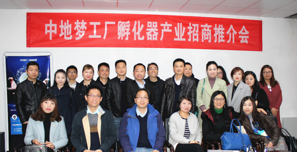
The operation of the Zhongdi Dream Factory incubator has officially started
On March 23rd, the investment promotion conference for the Zhongdi DreamWorks incubator industry was successfully held in the conference room of the Zhongdi Science and Technology Park office building, marking the official operation of the Zhongdi DreamWorks incubator. CGM Factory Incubator focuses on cultivating and incubating small and medium-sized enterprises in high-tech fields such as software development, creative design, Internet information, cloud computing, big data, etc. of the geographic information industry chain and upstream and downstream supporting industries.
March
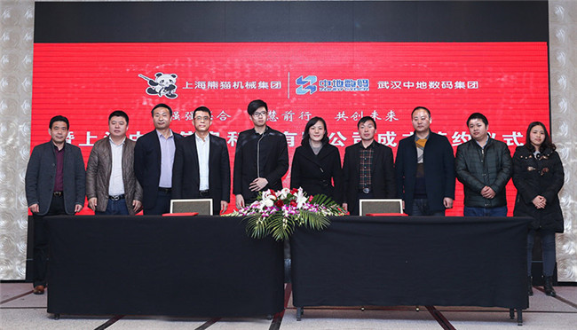
Shanghai Zhongdi Information Technology Co., Ltd. was established
In March 2017, Zhongdi Digital Group and Shanghai Panda Machinery (Group) signed a cooperation agreement in Shanghai, officially announcing the establishment of Shanghai Zhongdi Information Technology Co., Ltd., aiming to provide customers with more professional and comprehensive technical services, promote the continuous development of China's smart water industry, and provide strong support for the construction of smart cities.
November
MapGIS visualization command and dispatch system won the gold award for deepening the construction of public security informationization in Yichang City
The visual command and dispatch system of Yichang Public Security Bureau, constructed by Wuhan Zhongdi Digital Technology Co., Ltd., won the 2016 China Geographic Information Industry Excellent Engineering Gold Award.
August
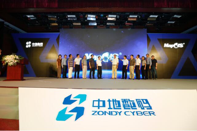
MapGIS 10.2 full category GIS products officially released
On August 30th, Zhongdi Digital Group held a new product launch event at the National Bureau of Surveying, Mapping and Geoinformation, officially launching its independently developed MapGIS 10.2 full category GIS products.
May
Wuhan Zhongdi takes the helm of the new group and welcomes a new chapter in its development
On May 18th, the handover ceremony of the new and old leadership teams of Wuhan Zhongdi Digital Technology Co., Ltd. was held in Wuhan Zhongdi Science and Technology Park. Through this handover, the core management team of Wuhan Zhongdi Digital Technology Co., Ltd. was successfully adjusted. The core founder team of the "Zhongdi Digital Entrepreneurship Team", former Chairman Wu Xincai, President Liu Yong, Vice President Xie Zhong, and Zhou Shunping of Wuhan Zhongdi Digital Technology Co., Ltd., presented flags to the new leadership team of the company. They are Chairman Wu Liang, President Wan Bo, Vice Presidents Zhang Lifeng, Chen Bo, Tang Tao, and Assistant to the President Zhang Liang.
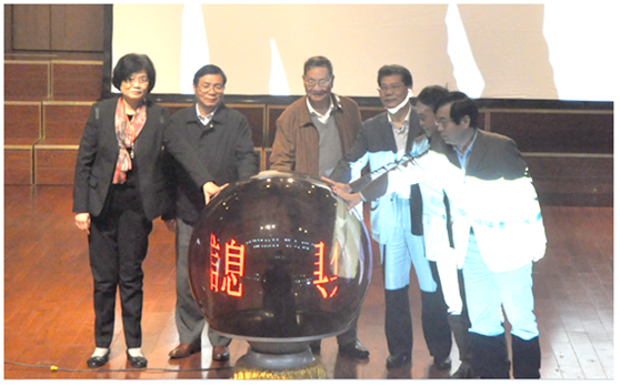
October
Geospatial information toolkit cloud platform officially launched
Geospatial information led by the Geographic Information System Industry Technology Innovation Strategic Alliance and developed with the participation of Zhongdi Digital GroupTool Set Cloud PlatformA grand launch ceremony was held at the 2015 National Doctoral Forum on Surveying and Mapping Science and Technology.
October
MapGIS "One Map" won the gold award, deeply cultivating the land information technology business of 11 divisions of Xinjiang Production and Construction Corps
The "One Map" of Land and Resources and the Comprehensive Supervision Platform of the Sixth Division of Xinjiang Production and Construction Corps, constructed by Wuhan Zhongdi Digital Technology Co., Ltd., won the 2015 China Geographic Information Industry Excellent Engineering Gold Award.


August
The "helmsman" of security for the 10th National Traditional Minority Sports Games - Command and Dispatch Platform
On August 9th, the 10th National Ethnic Traditional Sports Games opened grandly in the famous city of Ordos, Inner Mongolia. In order to ensure the smooth progress of the competition and various activities, the Ordos Municipal Government has adopted a comprehensive, multi pronged, and high standard safety guarantee plan. Among them, the security command and dispatch platform built on the MapGIS platform integrates technologies such as big data, the Internet of Things, Beidou navigation, and GIS, playing the most important core role in dispatch and command.
May
The 2015 MapGIS National Tour ended perfectly
On May 14, 2015, the National Tour of China Digital MapGIS was officially launched, lasting five months and covering seven cities including Jinan, Nanchang, Chengdu, Shijiazhuang, Shenzhen, Urumqi, and Wuhan.
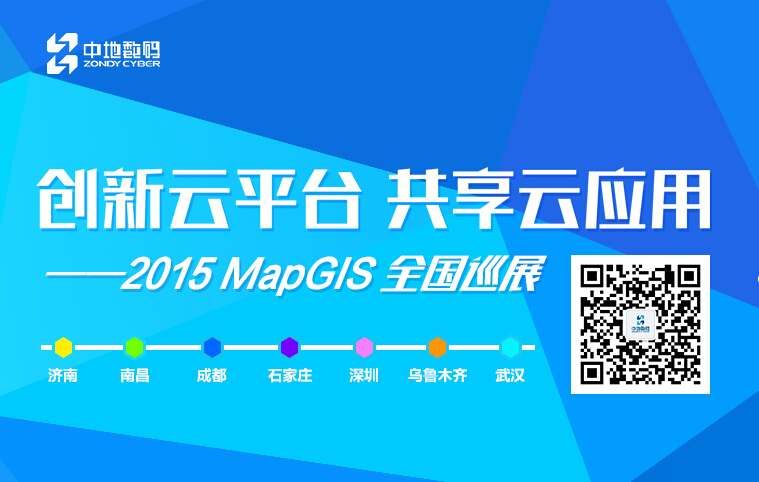
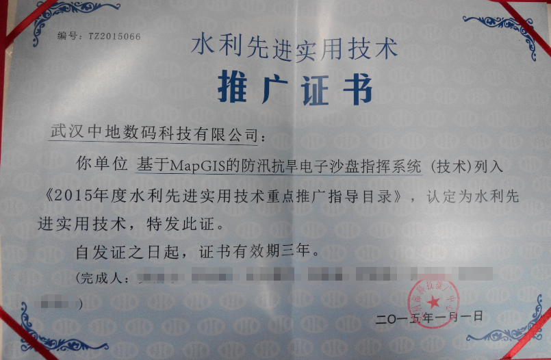
February
MapGIS Flood Control and Drought Relief Command System Selected for 2015 Advanced Practical Technology Key Promotion Catalogue by the Ministry of Water Resources
On February 10th, the Science and Technology Promotion Center of the Ministry of Water Resources issued a notice on the release of the 2015 Key Promotion Guidance Catalog for Advanced Practical Technologies in Water Resources. The "MapGIS based Flood Control, Wind Prevention, and Drought Prevention Electronic Sand Table Command System" developed by Wuhan Zhongdi Digital Technology Co., Ltd. was included in the Key Promotion Catalog of Advanced Practical Technologies in Water Resources and recognized as an advanced practical technology in water resources.
August
Ranked on the CCTV Influential Brand List
On August 18th, Zhongdi Digital made it onto the CCTV Influential Brand List and was awarded the title of "Outstanding Brand in China's GIS Software Industry".
May
MapGIS 10, the world's first cloud based GIS software platform, has been released
On May 27th, MapGIS 10, the world's first cloud based GIS software platform, was released in Beijing, completely changing the traditional GIS development and application mode. It has made significant breakthroughs in cloud GIS system architecture, software development mode, service mode and application mode, and reconstructing the GIS software production ecosystem.
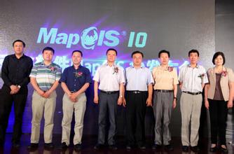
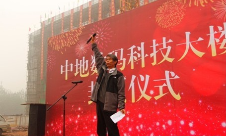
October
Wuhan Zhongdi Digital Technology Building successfully topped out
China University of Geosciences has successfully applied for the National GIS Engineering Center, and as its industrialization base, Zhongdi Digital has demonstrated strong comprehensive strength;
Zhongdi Digital was awarded the honorary title of China Geographic Information Industry Public Welfare Service Contribution Unit;
MapGIS K9 geographic information system won the certificate of innovative surveying and mapping geographic information product;
The research and application of a large-scale remote sensing integrated service platform won the second prize of Surveying and Mapping Technology Progress Award;
The Suzhou Urban Geological Information Management and Service System Development Project has won the China Geographic Information Industry Excellent Engineering Gold Award;
October
Zhongdi Digital Honor
Zhongdi Digital Group has been awarded honors such as "Excellent Software Enterprise", "Excellent Software Product", and "Excellent Information Solution Provider" in Hubei Province.

May
New turning point
The original Geographic Information System Software and Its Applications Engineering Research Center of the Ministry of Education has been approved and upgraded to the National Geographic Information System Engineering Technology Research Center. The registered unit is China University of Geosciences, and as the main base for GIS research achievement transformation, Zhongdi Digital has ushered in another wave of development opportunities.
March
New product launch
Zhongdi Digital has released a new generation of 3D GIS products at Hubei Building in Beijing, MapGIS IGSS 3D, Create a 3D sharing service solution that is truly three-dimensional, full space, highly shareable, and easy to integrate.

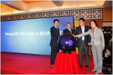
October
MapGIS Mobile 9 is released in Wuhan
Mobile GIS development platform MapGIS Mobile Released in Wuhan, the value of geographic information is ubiquitous.
Wu Xincai was awarded the China Software Ten Year Meritorious Person Award.
April
The 4th University GIS Forum was held
The 4th University GIS Forum in 2012 was held at Zhongshan Hotel in Nanjing, with over 1200 attendees and a cost of over 1 million yuan.
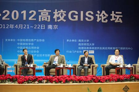

April
GIS platform launched
MapGIS New Generation Shared Services Platform Solution; The launch of the IGSS shared service platform in Beijing marks a new era of shared services in the industry, and the launch of the new product has epoch-making significance for breaking the "information island".
GIS MapGIS Grid has passed national acceptance inspection
Eleventh Five Year Plan scientific and technological research achievements, Grid GIS MapGIS Grid has passed national acceptance, and this achievement has been applied to major industries such as national geological surveys.
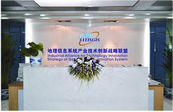
Geographic Information System Industry Technology Innovation Industry Alliance
The "Geographic Information System Industry Technology Innovation Industry Alliance" led by Zhongdi Digital has been officially approved by the Ministry of Science and Technology of China;
The achievements of Zhongdi Digital's large-scale 3D GIS platform have been appraised by experts;
成Shanghai Juming Information Technology Co., Ltd;
Digital City GIS Software Evaluation, MapGIS Geographic Information Sharing Service Platform; K9 was awarded the title of "Excellent Software".
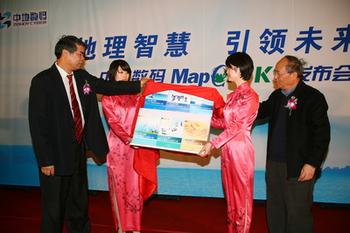
January
MapGIS K9 platform successfully developed
MapGIS , a new generation visualization and zero programming development system; The K9 platform has been successfully developed.
Wuhan Zhongdi has been rated as a key software enterprise in national planning and layout for the sixth consecutive year.
Received the Wuhan "Shenzhou-7" Manned Spaceflight Supporting Project Contribution Award.
Won the Most Influential Enterprise Award and Software Product Gold Award at the 13th Software Expo.
The establishment of the International Affairs Department is an important step towards the milestone of China's internationalization development.
Obtained Wuhan Service Outsourcing Enterprise Certification.
The Zhongdi super large distributed GIS software and application won the second prize of National Science and Technology Progress Award.
January
MapGIS platform software provides escort for the Shenzhou VII spacecraft
MapGIS Tool based Geographic Information System v7.2 and MapGIS Network Map Service 7.1 have been re evaluated in domestic spatial information system software; As the only GIS technology supplier to participate in the evaluation for 12 consecutive years, we have been honored in this evaluation.
President Liu Yong was awarded the "2007 China Top Ten Economic Women of the Year Innovation Award".
Was rated as a key software enterprise within the national planning layout in 2007.
The 2008 MapGIS College Second Development Competition was successfully held.
Won the "Best Technology Innovation Enterprise Award in China's Software Industry".
Donated MapGIS software worth 10 million RMB to the China Earthquake Administration, making outstanding contributions in earthquake relief efforts.
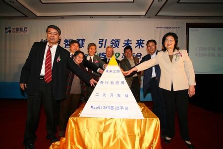
January
MapGIS Built Development Platform
Formally launched the "Zero Programming, Clever Combination, Easy to Build" MapGIS construction development platform, fully launched the "National '653 Project' MapGIS Training and Certification Project", and vigorously developed secondary development partners.
Reached a strategic partnership agreement with Huawei in Shenzhen to comprehensively promote the digital urban management communication system developed based on MapGIS.
Platinum sponsorship for the "Digital City International Conference (Shenzhen)" and the grand convening of the "6th MapGIS User Conference" in Beijing.
The pace of group development is accelerating, and the construction of Shenzhen Zhongdi Digital Building has started.
Fully participate in the "Second National Land Survey" project.
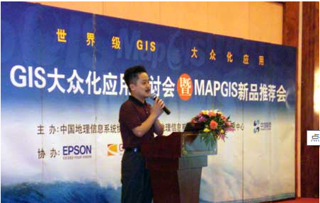
January
GIS Popularization Application Seminar and MapGIS New Product Promotion Conference
The "GIS Popularization Application Seminar and MapGIS New Product Promotion Conference" was held in sixteen important cities across the country.
Central Politburo member Yu Zhengsheng and Hubei Provincial Governor Luo Qingquan visited Wuhan Zhongdi for inspection.
"Innovation and Development · 2006 College GIS Forum" was grandly held in Beijing, and "GIS Era" was first released to the public
Wuhan Zhongdi has once again been listed as a key software enterprise and one of the top 100 independent innovation enterprises in the national planning layout.
MapGIS once again won the top spot in the 11th National GIS Software Evaluation, ranking first for ten consecutive years. "MapGIS Urban Underground Pipeline System" has been listed as a national key new product.
Zhongdi Digital Group was established, co organizing the "Digital City International Conference (Suzhou)" and "China GIS Annual Conference (Kunming)". Wu Xincai; The professor has been awarded the title of "Innovative Figure in China's Digital Cities".
January
The 10th National GIS Software Evaluation
In the 10th National GIS Software Evaluation, MapGIS once again won the championship. MapGIS has made new contributions in the Shenzhou VI manned spacecraft project.
The national "863" project "Large scale GIS for Massive Spatial Information on the Internet" has been accepted by the expert group.
The Zhongdi Digital Engineering Center Building of China University of Geosciences laid the foundation in Shenzhen High tech Zone, and the 5th MapGIS User Conference was successfully held.

January
GIS Software and Application Engineering Research Center of the Ministry of Education
The construction project of the "GIS Software and Its Application Engineering Research Center of the Ministry of Education" has passed the acceptance and is officially operational; The fourth generation service-oriented distributed super large GIS - MapGIS7; Successfully developed. Zhongdi Digital is the first in the industry to obtain CMM3 certification.
Beijing Zhongdi has entered the Jiahua Building in Zhongguancun Shangdi Information Industry Base.
January
Wuhan Zhongdi has passed ISO9001 quality system certification
Wuhan Zhongdi has passed ISO9001 quality system certification and has been approved by the Ministry of Science and Technology as a "National High tech Research and Development Program (863) Achievement Industrialization Site".
In the eighth national GIS software evaluation, MapGIS maintained its first place and won the second prize of National Science and Technology Progress Award; MapGIS successfully applied to the first manned spaceflight project of Shenzhou V; In the same year, Wuhan Zhongdi settled in Huazhong Software Park. Establish Xinjiang Zhongdi.
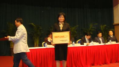
January
Wuhan Zhongdi has been recognized as a national key backbone software enterprise
In the seventh national GIS software evaluation, MapGIS maintained first place and won the first prize of Hubei Province Science and Technology Progress Award; Successfully won four national "863" projects during the 15th Five Year Plan period.
In the same year, Shenzhen Zhongdi was established.
Wuhan Zhongdi has been recognized as a national key backbone software enterprise.
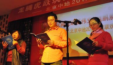
January
Beijing Zhongdi was established
In the sixth national GIS software evaluation, MapGIS continued its glory, won the championship again, and was rated as an excellent scientific and technological achievement of the "Ninth Five Year Plan" National Key Science and Technology Research and Development Program; The GIS Software and Its Application Engineering Research Center of the Ministry of Education has been approved for project construction. In the same year, Beijing Zhongdi was established.
January
MapGIS has been included in the "National Torch Plan" project by the Ministry of Science and Technology
In the fifth national GIS software evaluation, MapGIS once again ranked first and won the highest amount of funding in the "Electronics and Information" category of the first National Innovation Fund.
MapGIS has been included in the "National Torch Plan" project by the Ministry of Science and Technology.
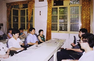
January
Wuhan Zhongdi R&D and industrialization base relocated to Wuhan Donghu New Technology Entrepreneurship Center
In the fourth national GIS software evaluation, MapGIS continued to rank first, and MapGIS water supply network, communication network, MapCAD, etc. were recommended. Wuhan Zhongdi R&D and industrialization base relocated to Wuhan Donghu New Technology Entrepreneurship Center.
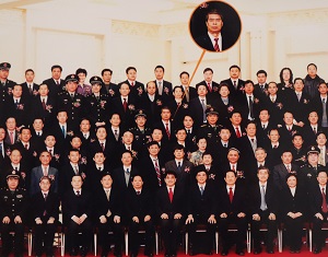
January
MapCAD industrialization achievements won the third prize of National Science and Technology Progress Award
On the basis of Huadi Graphics and Maipu Computer Company, Wuhan Zhongdi Information Engineering Co., Ltd. and Hubei Provincial Geographic Information System Software Development and Application Engineering Center were established.
In the third national GIS software evaluation, MapGIS once again won the first place with the highest sales volume in the country. In the same year, MapGIS network version was launched.
The industrialization achievements of MapCAD have won the third prize of National Science and Technology Progress Award.
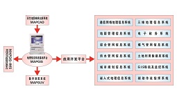
January
Zhongdi Digital has become the preferred platform recommended by the National Science and Technology Commission
In the second national GIS software evaluation hosted by the Ministry of Science and Technology, MapGIS ranked first and became the preferred domestic GIS software platform recommended by the National Science and Technology Commission.
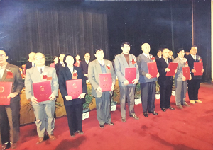
January
MapGIS receives key support from the National Science and Technology Commission
Winning the bid for the national "Ninth Five Year Plan" key scientific and technological research project, MapGIS received key support from the National Science and Technology Commission; In the same year, MapCAD was awarded the National Award; Second Prize for Technological Progress at Home.
January
Developed a microcomputer geographic information system - MapGIS
Developed a microcomputer geographic information system - MapGIS, which has been rated as a domestically produced software with international advanced level and listed as a "National Key Science and Technology Achievement Promotion Project" by the National Science and Technology Commission。
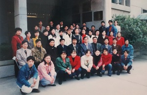
January
Establish Wuhan Maipu Computer Company and engage in the transformation of achievements
Establish Wuhan Maipu Computer Company to engage in the transformation of achievements.
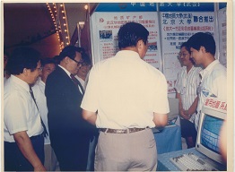
January
Comrade Jiang Zemin highly praised MapCAD
Comrade Jiang Zemin highly praised MapCAD products at the first National Map Exhibition.
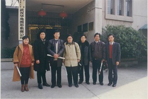
January
Establish Wuhan Huadi Graphics Company to engage in software research and development, technological innovation
Establish Wuhan Huadi Graphics Company to engage in software research and technological innovation.
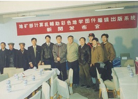
January
Developed the first set of color maps in January - MapCAD
Developed China's first color map editing and publishing system - MapCAD, ushering in a new era of computer mapping in our country.
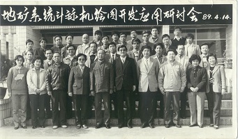
1月
The super mini computer version of MapCAD computer color map editing and publishing system has been launched
In 1989, the super mini computer version of "MapCAD Computer Color Map Editing and Publishing System", which embodies the hard work of Professor Wu Xincai, was launched, realizing the dream of creating maps on mini computers, filling the gap in domestic color map computer compilation, and receiving high praise from the Ministry of Geology and Mineral Resources and the industry.


