MapGIS Cloud WorkSpace is an exclusive cloud workspace for GIS industry workers, which provides a full process solution for "GIS data storage → GIS service publishing → online mapping → model management → online analysis → large screen display → application construction", meeting the needs of data production and application throughout the entire online process.
Product Composition
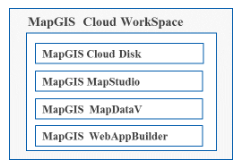
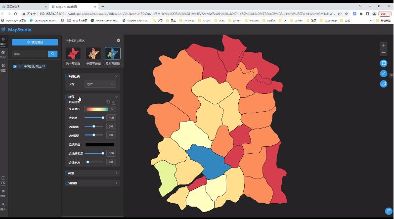
· MapGIS Cloud Disk:A secure and convenient industry-specific cloud drive built on cloud storage facilities, which unifies the storage space structure data and business thematic data, achieving personal and organizational level data storage, management, sharing, and collaborative production
· MapGIS MapStudio:A specialized online mapping tool that provides multiple styles of map templates, ready to use, suitable for different business scenarios, supports rich custom map expressions, and quickly creates exquisite professional maps
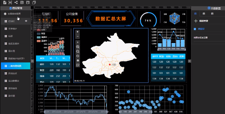
· MapGIS MapDataV:It is a flexible and efficient geographic big data visualization application building product that supports the rapid construction of big data visualization dashboards, data insights, etc. through a graphical interfaceWebLarge screen application
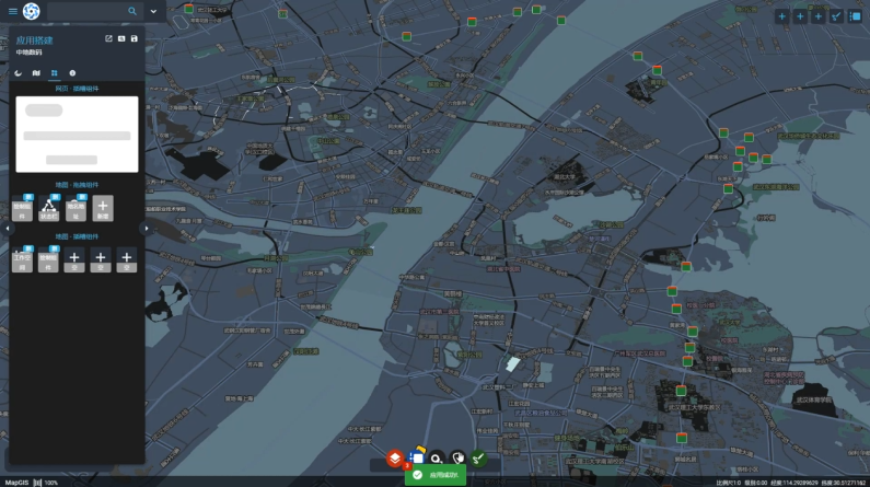
· MapGIS WebAppBuilder:It is a web geographic information application building product with "zero" coding, supporting the construction of various web single page applications
Product Features
Unified cloud storage space
· Building industry cloud storage based on object storage engine to achieve unified cloud storage of GIS spatial data and unstructured data
· Provide functions such as geographic big data conversion, data sharing, and spatial correlation to achieve collaborative sharing of multidimensional resources
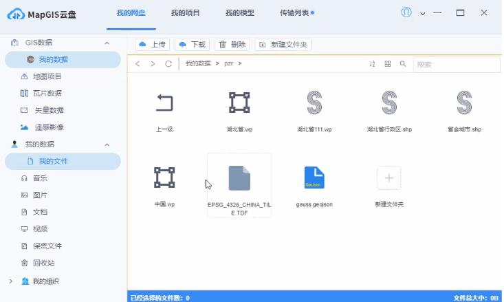
Specialized online mapping
· Provide functions such as spatial processing and analysis, adding custom icons, and style adjustment to quickly create exquisite professional maps
· Provide a set of thematic map templates, automatically adapt thematic map templates based on data characteristics, and quickly create maps without the need for professional mapping knowledge
· Provide rich thematic image display forms, giving users data more dimensions and professional expression effects
Convenient large screen visualization construction
· By dragging and dropping, professional large screen visualization applications can be built to achieve rich data visualization and analysis capabilities
· Supporting data linkage, it can quickly build big data visualization dashboard applications and data insight applications to assist business analysis and decision-making
· Support thematic expression components, providing one-way and two-way traffic flow diagrams, OD flow relationship diagrams, and passenger flow diagrams, etc
Building Web Applications with Zero Programming
· Provide a rich library of configurable widgets that do not require coding, allowing for the creation of 2D maps and 3D scene applications through drag and drop and configuration
· Adopting responsive interface design, adaptable to multiple screen resolutions, supporting mainstream mobile devices
· Support optimizing maps/Scene, theme management, and place name and address widgets
Comprehensive backend management
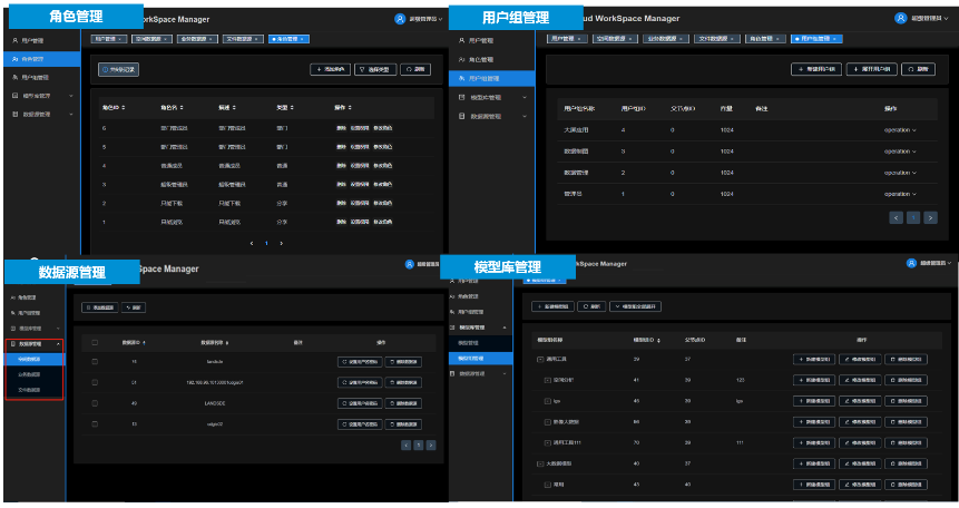
· Rich backend management functions, capable of managing resources such as users, roles, model libraries, and data sources, supporting operations such as adding, deleting, modifying, and querying
· Support group management, enabling individual and group resource sharing and collaboration
Related software
Desktop GIS
BD And Cloud Platforms
MapGIS CIM Basic Platform
Digital Twin Platform


