MapGIS IGServer Java for Windows is the Windows version of the cross platform high-performance GIS server product MapGIS IGServer. It is also a platform software for browser based GIS application and development, providing users with powerful spatial data management, analysis, visualization, and sharing services. It supports users in developing and expanding WebGIS applications in various industries. Supports two operating modes: monolithic version and microservice version.
1、Product Features
Domestic high-performance GIS platform
●Diversified database support. Support domestic databases such as DM, HighGo DB, KingbaseES, PolarDB, GaussDB, GBase, BeyonDB, Shenzhou General, UXDB, H3C SeaSQL DWS, YashanDB, as well as open-source or commercial databases such as SQL Server, MySQL, Oracle, PostgreSQL, etc
●Unique cloud authorization, supporting online authorization authentication and offline QR code authentication, providing flexible machine binding and unbinding mechanisms
Comprehensive high-performance GIS services
●Map services, supporting the publication of map services, tile services, and third-party map services, providing visualization and interactive processing of map services
●Scene services, supporting the publication of scene services, terrain caching services, M3D services, and 3DTiles services, providing visualization and thematic expression services for scene services
●Element services support publishing element services and conducting queries, edits, and statistics based on element services
●Image service, supporting the publication of image services, providing visualization of image data and thematic expression
●Third party map services, supporting the publication of OGC services such as WMS, WFS, WMTS, CSW, as well as online map services such as Tianmu, Gaode, Baidu, and third-party heterogeneous GIS platform services
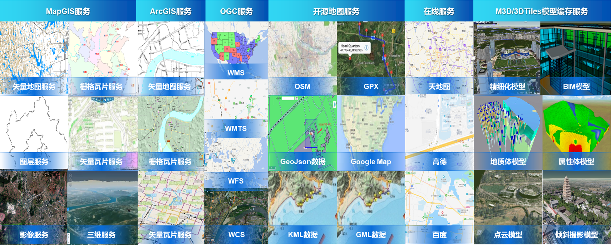
●Spatial analysis services, providing over 100 high-performance GIS analysis services including buffer analysis, overlay analysis, network analysis, and 3D analysis
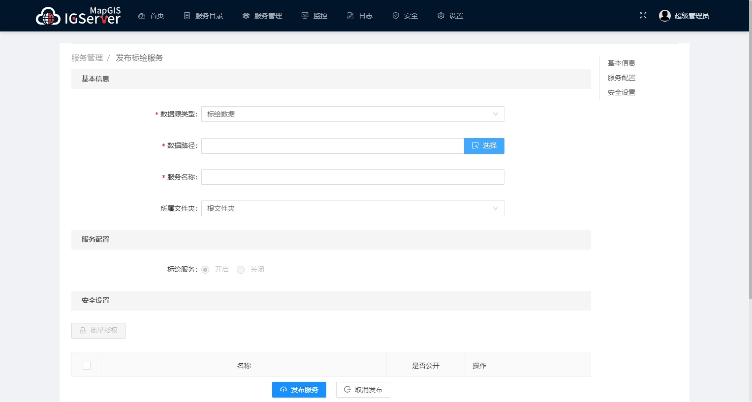
Integrating multi-source heterogeneous GIS services
●Support MapGIS standards, international universal standards, third-party universal standards, and M3D 3D model data sharing service standards, etc
●Support the rapid release of heterogeneous data or services such as universal vector tiles and third-party map services as standardized map services for MapGIS
●Support deep integration of multi-source heterogeneous services such as MapGIS standards, international universal standards, and third-party universal standards
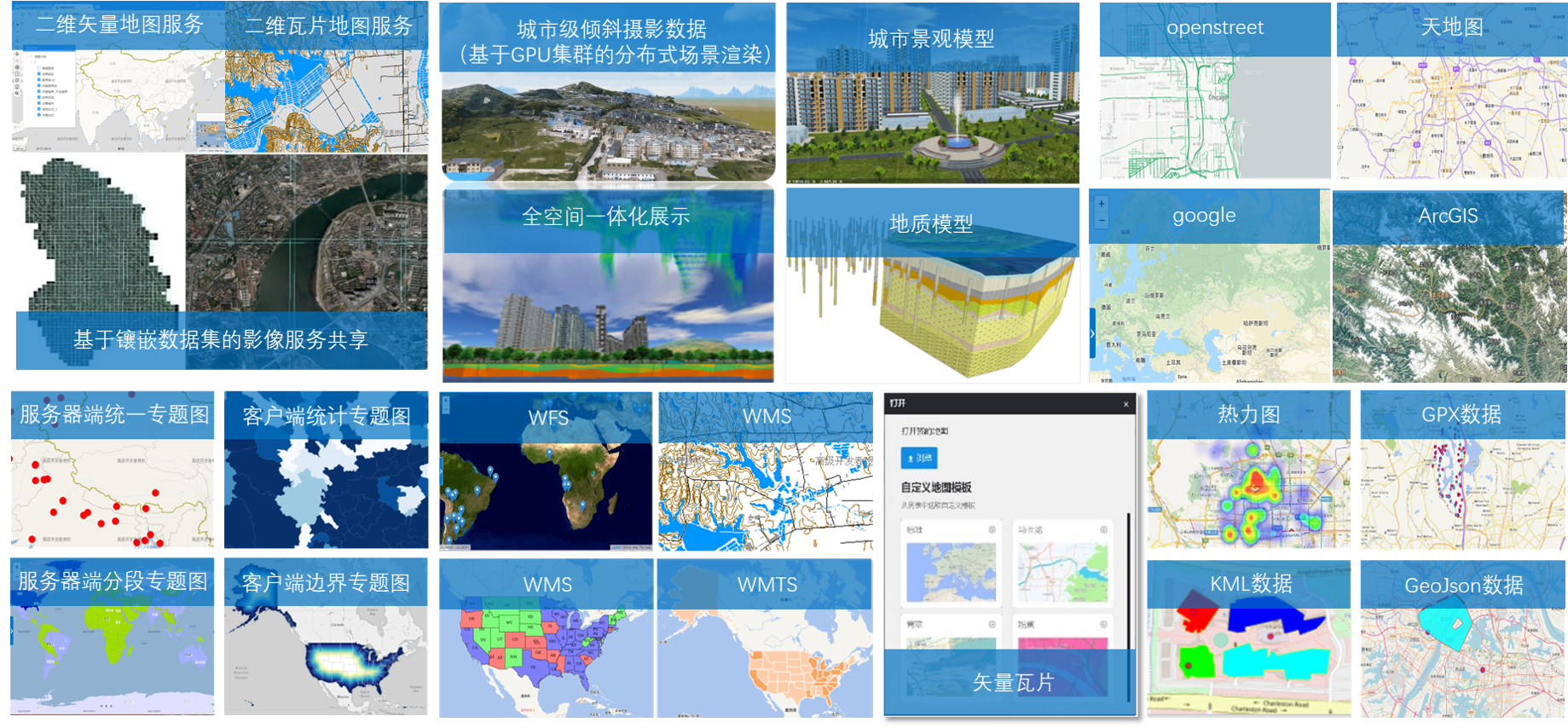
Aggregatable multi-source heterogeneous GIS services
●Support the rapid release of map data/services from general standard services, third-party online map services, and third-party heterogeneous GIS platforms as MapGIS standard map services
●Support rapid aggregation of GIS services that comply with international common standards such as MapGIS and OGC, as well as third-party common standards
●Provide two fast aggregation methods based on server and client
●Support efficient service expansion
●Support custom service access and management functions that comply with service standards and specifications, enabling custom service registration, hosting, and discovery
●Support visualization based workflow extension function services, which can achieve desktop, browser, and mobile sharing
●Support independent cloud service development and expansion, support integration of individual services and microservices
Fine service management mechanism
●Provide high-performance GIS services based on microservice architecture that are more efficient, flexible, can be updated in real-time, and run more stably
●Supports multiple cache generation and scheduling mechanisms, providing local and distributed storage based on data caching and interface caching
●Support deployment modes for both monolithic and microservice versions, meeting the application needs of different scales and operating systems, and maximizing resource utilization
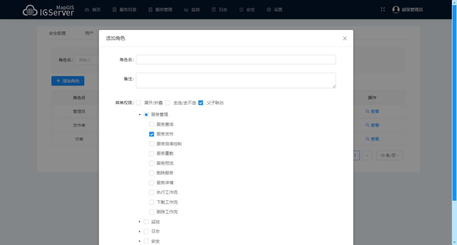
●Provide comprehensive security mechanisms, support service level access control and security management policies for user groups, roles, etc., distinguish service resources for different user roles, and ensure the security of service management permissions
●Provide a comprehensive log management system and operational monitoring mechanism for more refined management
●Support role level service resource decentralization management, where users with different roles can see different services, ensuring the security of service management permissions
Related software
Desktop GIS
BD And Cloud Platforms
MapGIS CIM Basic Platform
Digital Twin Platform


