


Smart Municipal Administration
Covering industries such as water supply, drainage, gas, heating, and comprehensive pipelines, we provide a full lifecycle asset management tool for the collection, storage, management, updating, analysis, and application of pipeline data.
The MapGIS pipeline network GIS system is based on the municipal industry basic platform, covering industries such as water supply, drainage, gas, heat, and comprehensive pipelines. It is aimed at underground municipal pipeline network ownership enterprises and management departments, providing a full lifecycle asset management tool for the collection, storage, management, updating, analysis, and application of pipeline network data. It realizes the visual management and information sharing of above ground and underground 2D and 3D integrated pipeline facilities, and supports multi terminal applications on desktop, web, and mobile.
Technical Value
● Mingjia Bottom
Comprehensively integrate and consolidate asset resources, comprehensively grasp the types, quantities, and update levels of assets, and promote resource sharing among departments.
● three-dimensional
Two dimensional visualization of the status and changes of pipeline assets, expanding the management and application mode of pipeline assets.
● Highly controllable
Based on domestic independent GIS platform, we will build a solid defense line for pipeline asset information security.
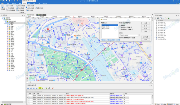
Desktop Data Management System
For professional managers in industries such as water supply, drainage, gas, heating, and comprehensive pipelines, we provide professional and powerful functions such as data entry, data management, data analysis, data maintenance, and system maintenance to ensure the integrity and accuracy of data, laying a data foundation for more businesses to achieve information management.
Web based 2D application
The system supports multiple client applications such as computers, mobile phones, and tablets, enabling convenient viewing of two-dimensional pipelines and office work in various environments, improving work efficiency. The web-based application enables users from various departments in industries such as water supply, drainage, gas, heating, and comprehensive pipelines to browse, query, and analyze pipeline data quickly and easily through web browsing, reducing system complexity and effectively improving user work efficiency.

Web based 3D application
Providing a two-dimensional and three-dimensional linkage mechanism for pipelines can fully leverage the advantages of the two-dimensional pipeline platform in information query, spatial analysis, and other aspects. With the help of three-dimensional display technology, the query and analysis results can be displayed in three dimensions, truly reflecting the underground pipeline situation in planning and construction sites. It has a wide range of practical application value in pipeline management and maintenance.

Related Software
Smart City Space Time BD
Smart Policing
- Smart Emergency Command Platform
- Smart Security Combat Platform
- Smart Patrol and Prevention Platform
- Security Command and Dispatch Platform
- Smart Police Station Platform
- Integrated Border Defense Practical Platform
- Public Security Time Space Information Cloud Platform
- Mobile policing practical platform
- Integrated platform for emotional guidance and action
Smart Municipal Administration


