


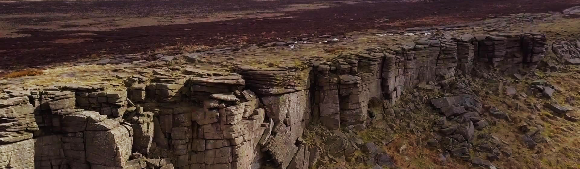
Smart Geology
Provide information services based on geological resource related data to achieve deep mining, sharing, and exchange of geological resource information.
The MapGIS engineering survey information solution covers the management of engineering survey projects and the main processes of operations, enabling better integration of field engineering survey and office data processing and output to improve staff efficiency and provide management services for engineering survey operations.
The MapGIS engineering investigation informatization solution covers project management and main operational processes for engineering surveys, integrating field engineering investigation with indoor data processing and result output to improve staff efficiency and provide management services for engineering investigation operations.
Solution
Data Management and Maintenance: Used for integrated management of attribute data, spatial data, and document data. The system supports data addition, data import, data export, metadata management, and binding document data association functions.
Engineering Investigation Project One-Map: Based on the "one-map" display of engineering investigation projects, it achieves spatial deployment of engineering investigation projects on one map, realizing browsing display, query retrieval, and statistical analysis functions of engineering investigation data based on one map.
Professional Application Analysis and Evaluation: Including engineering professional mapping, geotechnical test calculations
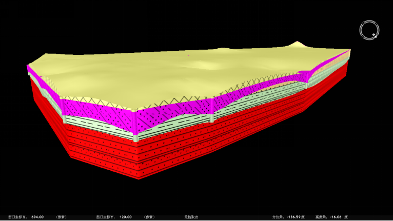
3D Visualization and Analysis: Including 3D engineering geological modeling, 3D pipeline modeling, 3D model integration, 3D model analysis, and 3D auxiliary design.

Figure: Borehole Model Construction and Attribute Query Effect Diagram

Figure: 3D Geological Structure Modeling Based on Standardized Boreholes
Shared Services: Organized in the form of a data directory tree to display geotechnical engineering geological work results
Typical Cases
1. Sude Geotechnical 3D Modeling Auxiliary Design System
2. Nuclear Power Plant 3D Information Analysis and Evaluation System
3. Zhongjia Engineering Investigation Information Management Platform
4. CNNC Nuclear Power Plant 3D Geological Information Platform
Related Software
Smart City
- Smart City Spatiotemporal Big Data Platform
- MapGIS Smart Thermal Solution
- Smart Emergency Command Platform
- MapGIS Field Work Order Solution
- Enterprise One Picture Solution
- Smart Security Combat Platform
- MapGIS Pipeline GIS Solution
- Smart Chemical Industrial Park Solution
- Smart Patrol and Prevention Platform
- MapGIS Integrated Management System Solution for Underground Municipal Facilitie
Natural Resources
- National Land Space Basic Information Platform: Smart Hub
- National Spatial Planning Implementation Monitoring Network (CSPON)
- Real estate convenience service system
- Realistic 3D Solution
- Natural Resource Asset Management Solution
- One code land management solution
- Ocean monitoring solutions
- Intelligent Disaster Management Solution
- Integrated solution for natural resources e-government
- Land survey solution
Smart Geology
- MapGIS Digital Twin Watershed Solution
- MapGIS Groundwater Informatization Solution
- MapGIS Iterative Geological Modeling Tool
- Geological Informationization Solution
- MapGIS Geological Data Management and Display System
- MapGIS Field Data Collection System
- MapGIS Smart Environmental Protection Solution
- Integrated solution for urban geology above ground and underground
- Geological big data cloud platform
- MapGIS Mining Management and Modeling System
More Applications
- Series solutions for the communication industry
- MapGIS CIM Underground Space Platform
- Smart wind power solution
- Solution for Radio and Television Resource Management
- Transportation Meteorological Support Service Solution
- High performance processing solution for remote sensing images
- Multi source remote sensing data management solution
- Solution for Multi source Meteorological Information Integration Application and Service Platform
- Solution for Visualization Platform of Meteorological 3D Storm Body Echo Data
- Solution for Weather Radar Construction Business Platform


