Building a collaborative computing ecosystem, Zhongdi Digital makes its debut at the 2025 Huawei Hubei Computing Ecosystem Partner Conference
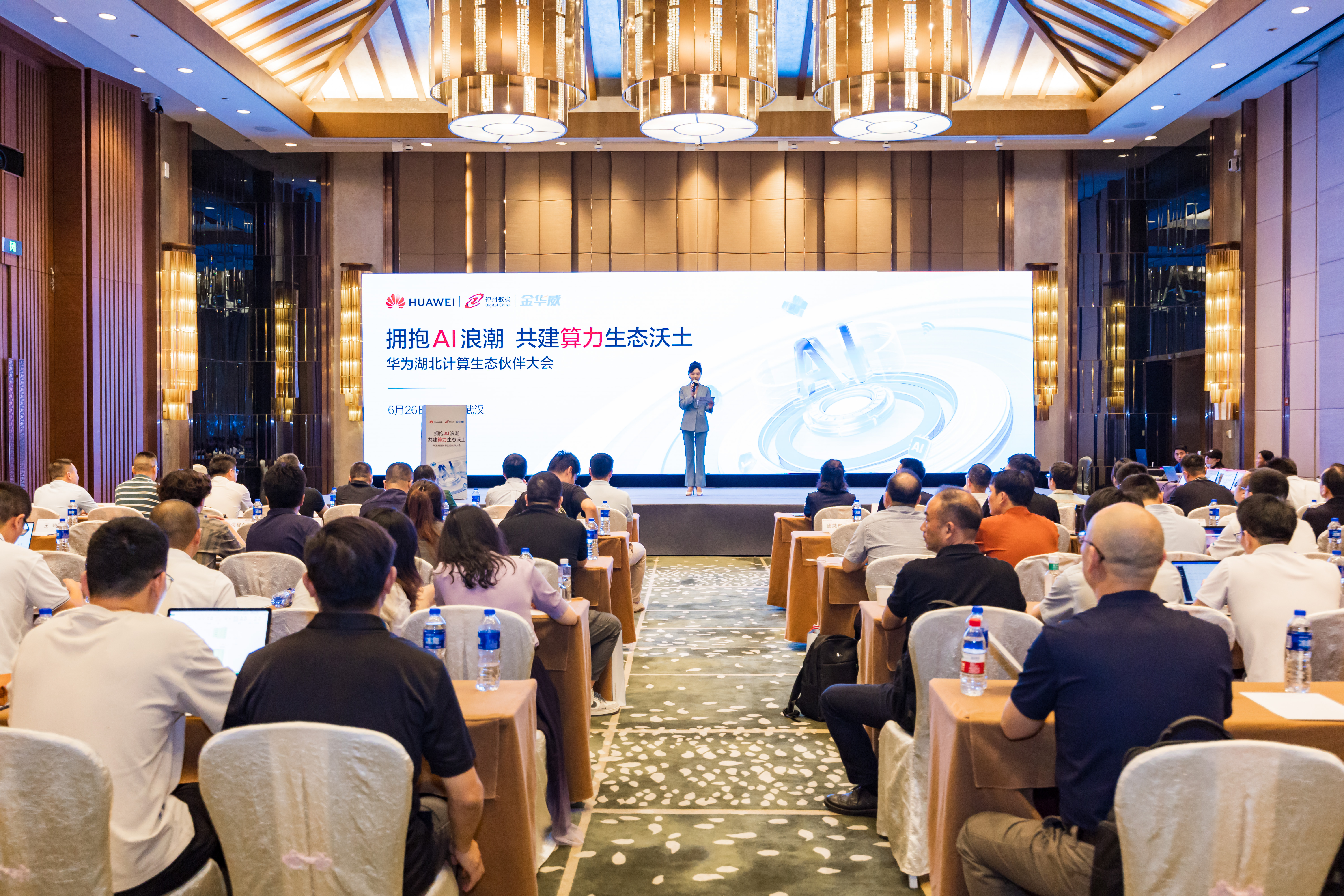
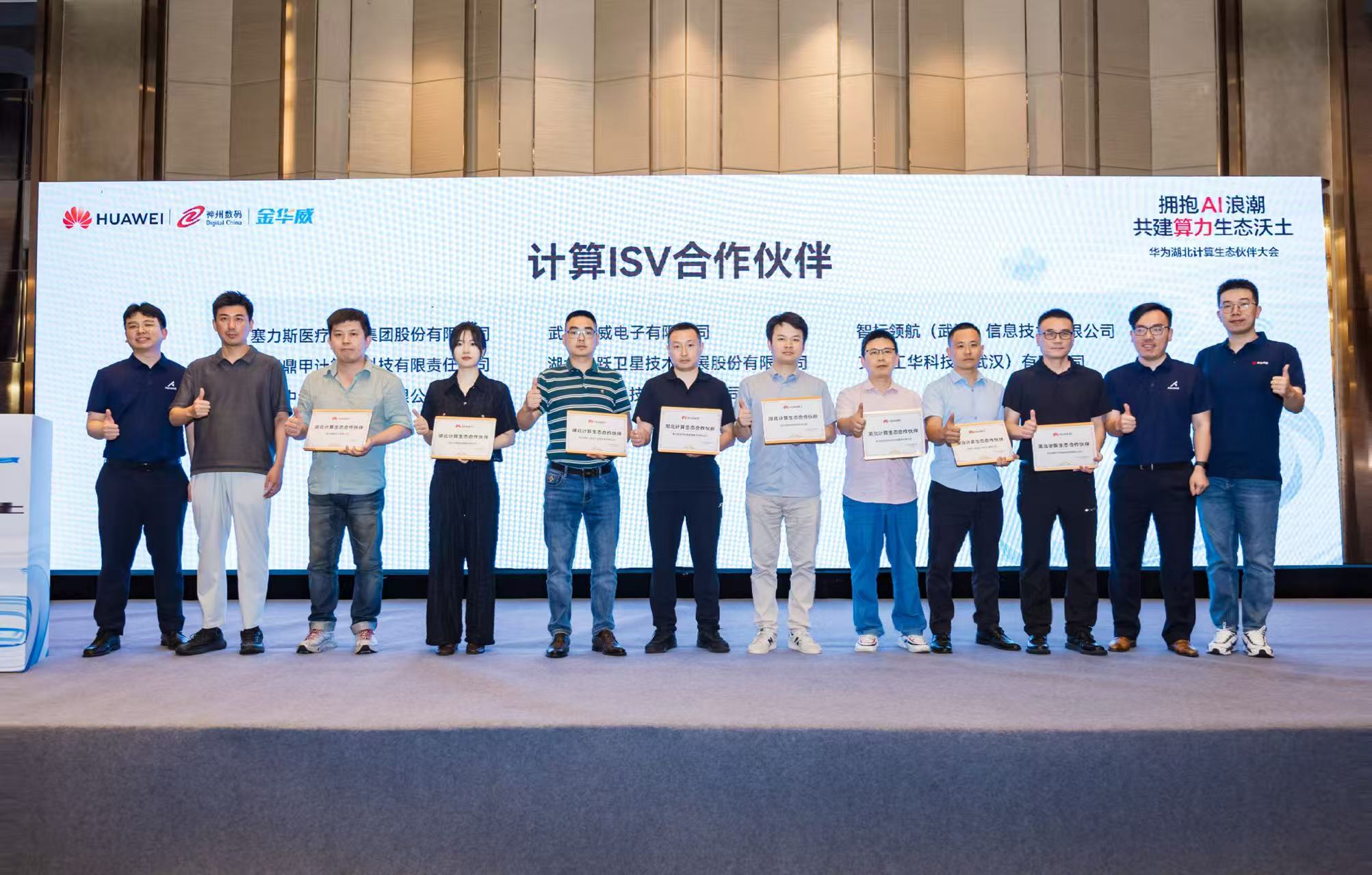
Recently, the Huawei 2025 Hubei Computing Ecology Partner Conference was grandly held in Wuhan Optics Valley. With the theme "Embrace the AI Wave and Build a Fertile Computing Ecology", the conference gathered over 40 leading companies in Hubei's computing industry, focusing on ecological co-construction and innovative applications of general computing power and AI computing power technologies. As a leading domestic GIS enterprise, Zondy Digital officially joined the Huawei Hubei Computing Ecology Partner Alliance and accepted the plaque, demonstrating its important value in promoting computing ecology collaboration and industry intelligent upgrading.

Deepen Ecological Cooperation and Build Innovation Foundation
Over the years, Zondy Digital has been committed to building an autonomous and controllable GIS technology ecosystem. As a member of Huawei's Hubei computing ecology partner alliance, Zondy Digital has further deepened cooperation with Huawei in product compatibility adaptation, joint solution development, and industry market expansion based on Huawei's full-stack computing capabilities. Currently, Zondy Digital's full-space intelligent GIS platform has completed deep adaptation with Huawei Kunpeng, Ascend, and Kylin, forming an integrated "hardware + software + application" solution that provides a secure and controllable digital foundation for fields such as natural resources, smart cities, and emergency management.

Full-Space Intelligent GIS Platform Empowers Industry Intelligence
As an innovative benchmark in the domestic GIS field, the new generation full-space intelligent GIS platform deeply integrates cutting-edge artificial intelligence technologies. By combining deep learning algorithms, full-space data analysis, and intelligent decision-making models, it achieves comprehensive intelligent upgrading of geographic information services and builds a new spatial intelligence ecosystem with autonomous learning and evolutionary capabilities. Through advanced AI frameworks, it successfully integrates basic AI technologies with general large models, providing users with a series of efficient and precise model tools. The platform's developed intelligent generation, file interpretation, and process service functions have significantly improved the system's automation and intelligence levels. Notably, MapGIS 10.7 has achieved a knowledge retrieval and reasoning mode similar to DeepSeek, capable of automatically generating industry reports and summarizing knowledge questions for the GIS field. It also adds new management tools for knowledge bases, applications, and components, further optimizing data processing, image analysis, image interpretation, and knowledge graph function services, greatly enhancing the convenience and efficiency of geographic information services.
Tuqing and Zhiqing Dual Engines Drive Industry Scenario Implementation
Digitalization and intelligence have become two key trends driving technological and social development. In recent years, Zondy Digital has actively promoted the deep integration of GIS technology and artificial intelligence, enhancing the efficiency and intelligence level of geographic information data processing by introducing AI technology.
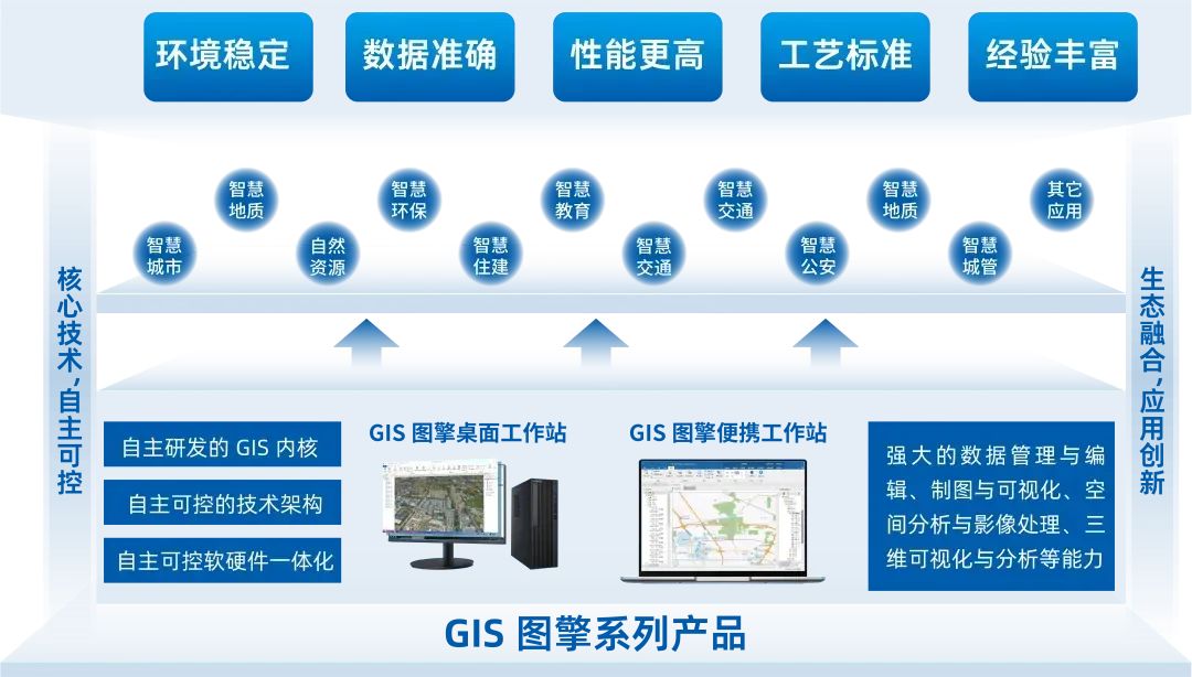
The newly launched GIS Tuqing product in March this year relies on Huawei's high-performance computing power hardware support, combined with Zondy Digital's independent innovation in domestic GIS, deeply adapts to mainstream domestic software and hardware. It comprehensively aligns with non-domestic similar products in software functions and service performance, demonstrating excellent capabilities in data management and editing, mapping and visualization, spatial analysis and image processing, 3D visualization and analysis, achieving efficient and stable, functionally robust, performance-leading, and flexibly scalable GIS services.

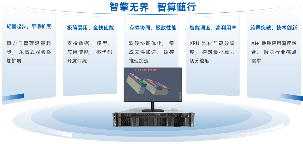
The GIS Zhiqing product relies on Huawei's hardware computing power support and integrates DeepSeek's "large model technology" to achieve multi-modal geological intelligent Q&A, automated 3D modeling, intelligent quantitative mineralization prediction, and other scenario applications, providing geological exploration units with "AI geologist"-level auxiliary decision-making capabilities.

Facing the era wave of accelerated integration of AI and the digital economy, Zondy Digital will continue to take the full-space intelligent GIS platform as the core engine, continuously strengthen R&D investment, deepen autonomous and controllable technology research, and strive to work with Huawei and extensive ecological partners to jointly promote the deep integration of spatial information technology and advanced computing, contributing stronger geographic wisdom to the digital and intelligent transformation of thousands of industries.


