GIS Map Engine Series Products: The Dual Revolution of Domestic GIS from Security to Efficiency
Driven by the deepening of national security strategies and the wave of independent innovation in information technology, the localization capability of the geospatial information industry has become a core proposition for safeguarding national data sovereignty and breaking through technological barriers in key areas. Facing the "neck-pinching" predicament and information security challenges in digital transformation within the geospatial information sector, MapGIS and Huawei have deeply integrated their technological strengths to break the deadlock with solid capabilities—the domestically produced GIS Engine series was officially launched, providing an autonomous and controllable geospatial information foundation for various industries.

Born for Innovation,Three Decades of Technical Accumulation
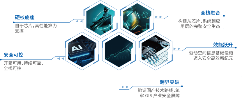
Unlike later-stage localization alternatives, MapGIS has adhered to a "fully autonomous and controllable" technical route since its inception with the launch of its first self-developed GIS system. Through continuous R&D investment, it has built a complete technology stack from GIS kernel and algorithm libraries to application frameworks, winning the National Science and Technology Progress Award five times. This newly launched GIS Engine series elevates this native innovation gene to new heights. Leveraging Huawei's high-performance computing power and MapGIS's independent innovation in domestic GIS, the product is deeply adapted to mainstream domestic software and hardware, fully aligning with non-domestic counterparts in functionality and service performance, delivering efficient, stable, leading-performance, and scalable GIS services.

Dual Engines Collaborate to Define New Industry Benchmarks
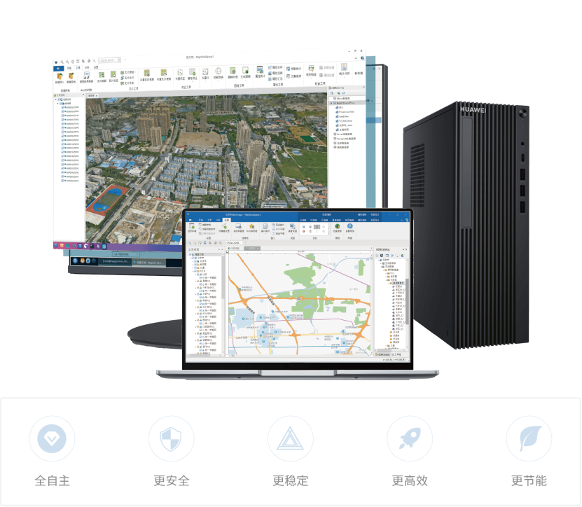
The GIS Engine series includes two products: the GIS Engine Desktop Workstation and the GIS Engine Portable Workstation, directly addressing the pain points of domestic replacement. Through the three-pronged technical optimization of "standardized integration + comprehensive adaptation + refined tuning," it achieves a convenient "out-of-the-box" experience. Problems such as "difficult adaptation, migration, porting, and deployment" in GIS localization are thoroughly resolved. Users no longer need to expend manpower and resources on software-hardware optimization and complex deployment, truly liberating productivity to focus on business innovation. With its "zero-threshold" localization adaptation capability, the GIS Engine helps users get started easily and seize the opportunity of digital transformation.
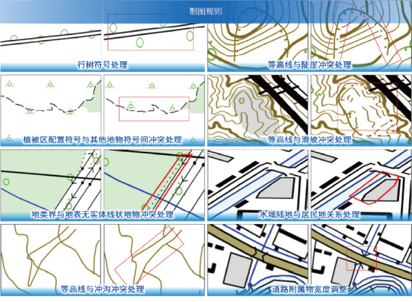
In professional mapping and output, the GIS Engine reshapes the "leading position" of cartography with cutting-edge technologies. The product integrates over 200 editing tools, more than 40 intelligent rules, and a thousand-level symbol library, covering all scenarios on land, sea, and air. It supports spot color separation output for printing-grade precision, is compatible with the open GeoPDF format, and allows cross-platform browsing without professional software, providing a full-chain solution from data collection, processing to visual analysis for various industries, making maps a core productive force in empowering digital transformation.

In terms of data migration, the product is equipped with an intelligent data migration engine, supporting one-click conversion of multi-source heterogeneous data and seamless cross-platform migration, compatible with various mainstream formats to ensure complete flow of spatial information in the domestic environment. Through automated verification and incremental update technologies, migration efficiency is significantly improved—for example, conversion time for provincial-level 30G results is shortened from 48 hours to 5 hours—helping users smoothly transition to the domestic ecosystem.

Ecosystem Co-construction to Open New Digital Horizons
In the grand journey of Digital China construction, MapGIS adheres to the concept of "platform autonomy and ecosystem innovation," building a secure and trustworthy geospatial information industry community. Through deep adaptation with domestic software and hardware vendors like Huawei, the product fully supports mainstream domestic chips, operating systems, databases, and cloud platforms, forming an autonomous and controllable technical closed loop from underlying hardware to upper-layer applications, providing full-chain security protection for fields such as natural resources, smart geology, and smart cities.
This innovative fusion between MapGIS and Huawei is not only a technological resonance between two leading enterprises but also a result of collaborative innovation in the domestic ecosystem. The GIS Engine series also sets an example for building an open and win-win industrial ecosystem, accelerating the localization process of the geospatial information industry chain, and injecting a secure and controllable "Chinese chip" into Digital China construction.


